
Disclosure: This post contains affiliate links and we may receive a referral fee (at no extra cost to you) if you sign up or purchase products or services mentioned. As an Amazon Associate, I earn from qualifying purchases.
I went to a smaller school in my early education days. It ran from kindergarten through 8th grade and had probably 300-400 students at the most. My grade had maybe 30-35 kids in it and, except for a couple of kids coming or going over the years, we all stayed together in every class over our 8 years there (they didn’t have kindergarten at that school when we started).
Every year, the higher-grade classes (probably 4th through 8th grade) would do a spelling bee just among the kids in their grade. And then those winners, and possibly the runner-ups, would later go on and compete in a big spelling bee for the whole school.
I have a clear memory of being in 6th grade and not wanting to participate in my grade’s spelling bee. I was a smart kid and good at spelling – I just didn’t want to compete that year, for whatever reason.
So, when I was given my first word, I just said, “A-B-C-D-E-F-G” and sat down. The teacher smiled and moved on. But a girl I had a big crush on looked at me, all aggravated, and said with a real snotty attitude, “That was stupid!”
That actually got to me… enough that it stuck with me all those years. But little did I know that was an awakening moment for me.
The following year, for the seventh-grade spelling bee, I crushed everyone in my class (including her). I then continued on to win the spelling bee for the whole school.
Why did I do that? Because I could. And I wanted to be able to show that “I can” for my satisfaction and to show others that I could.
Since then, whenever a challenge comes up that intrigues me, I think, “I can do that.” Those words echo in my head, and I just do it. I never really think I can’t do something if I really want to make it happen.
Retiring at 43 and hiking up Volcán Barú are a couple of the later examples of the “I can do that” mentality that festers in my mind until I make things happen.
The big difference between then and now is that now I do things just for my own satisfaction and not anyone else’s.
Today, I’m going to tell you about my latest challenge that I just conquered… bike riding the Ohio to Erie Trail (OTET). I ended up riding 346.45 miles total over 6 days. For a more casual bike rider like myself, I probably should have let this go to the wayside, but it looks like the “I can” voice won again!
- What is the Ohio to Erie Trail (OTET) and how did this get on my radar?
- My bike and training for the OTET
- My Ohio to Erie Trail Biking Plan
- Day 0 (Sat): Heading to Cincinnati
- Day 1 (Sun): Cincinnati to Xenia
- Day 2 (Mon): Xenia to Westerville
- Day 3 (Tue): Westerville to Mount Vernon
- Day 4 (Wed): Mount Vernon to Millersburg
- Day 5 (Thu): Millersburg to Akron
- Day 6 (Fri): Akron to Cleveland
- My Ohio to Erie Trail (OTET) Stats
- What surprised me about the Ohio to Erie Trail adventure?
- Why not an e-bike?
- Would I do the OTET again?
- How was the wildlife on the Ohio to Erie Trail?
- Did you worry about getting lost on the Ohio to Erie Trail?
- A funny story about my OTET ride
What is the Ohio to Erie Trail (OTET) and how did this get on my radar?
For as much as I whine about the gray skies and crappy winter weather in Ohio, this state has got one of the best park systems in the entire country. It’s called the MetroParks, and it’s actually a bunch of regional park systems operated by different counties or groups of counties. They offer great:
- Hiking and walking trails
- Wildlife watching and nature preserves
- Picnic areas, playgrounds, and shelters
- Fishing, boating, kayaking, and sometimes swimming
- Biking, horseback riding, disc golf, or golf
- Nature centers, educational programs, and guided activities
- Conservation and habitat-restoration projects
I’m most familiar with the Cleveland Metroparks and Summit Metro Parks, where I’ve spent a lot of time since I was a kid enjoying the trails, picnics, etc.
I couldn’t find a published combined statewide inventory, but based on numbers that an AI helped me with, a reasonable statewide estimate is that the total MetroParks system occupies about 175,000-190,000 acres across Ohio. That’s a lot of great park system!
Now, here’s where it gets pretty cool.
In 1991, the Ohio to Erie Trail Fund was created to help link the parks and coordinate what would eventually become the Ohio to Erie Trail (aka the OTET).
It’s taken many years, but now the OTET is a 326-mile route connecting 23 regional trails from Cincinnati to Cleveland.
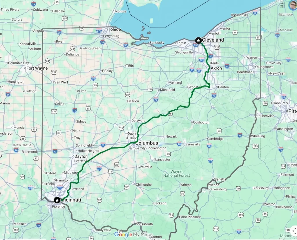
According to the Ohio to Erie Trail site, the OTET is currently comprised of:
- 245 paved trails
- 49 crushed stone trails
- 20 roads
- 10 streets
In 2024, they said:
The Ohio to Erie Trail Fund leads the effort to connect the trails, now 90% complete with 100% in our sights.
— Tom Bilcze – Ohio to Erie Trail blog 5/11/24
That’s incredible to me. 326 miles of almost all interconnected trails.
Funny enough, though, I hadn’t even heard of the OTET until a good friend of mine mentioned last winter that we should give this a try sometime in 2026. He’s a serious biker and, well, I’m not (at least, I wasn’t).
But I liked the idea of a good challenge and some quality time with my best friend of over 37 years, so I agreed. That said, this can be an expensive hobby, and I didn’t want to go too crazy doing it.
My bike and training for the OTET
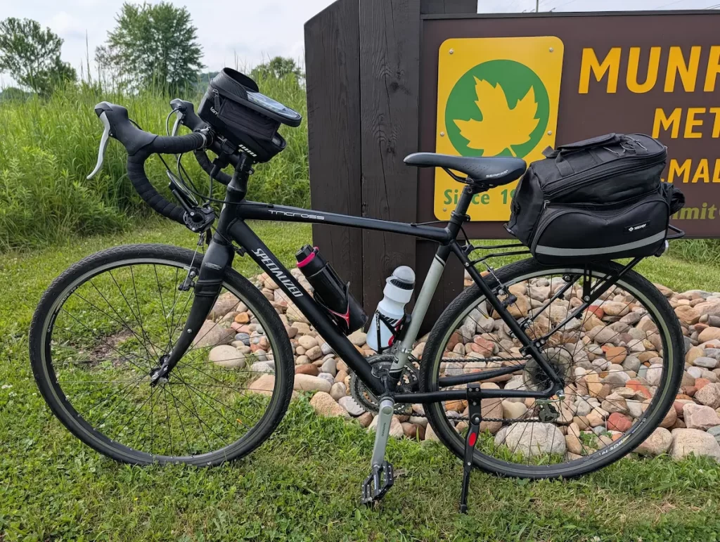
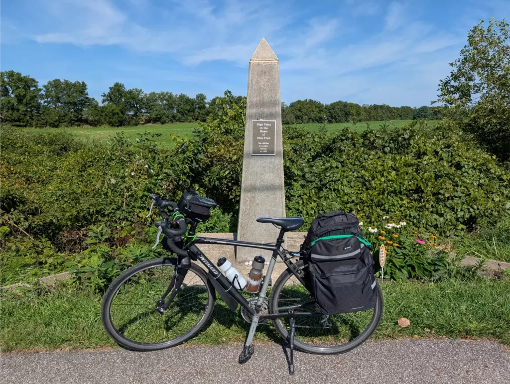
It took a while, but I found a bike that fit what I was looking for on Facebook Marketplace… a 2010 Specialized Tricross Bike. It cost me $300. Here she is in all her glory:
Once the spring rolled around, I was ready to start training for the OTET… and then my buddy let me know that he broke his ankle and wouldn’t be able to train to do it this year. Instead, he wanted to do this in 2027. The problem is that we’re moving to Asheville, NC in December of 2026. That’s not a deal-breaker, but it makes it much more complex.
I then asked a couple of folks if they wanted to be a part of this adventure this year. One of those fellas is my friend and everyone’s favorite blogger, Fritz from The Retirement Manifesto. I know he loves biking, but he told me to go pound salt 😉. Coordinating doing the OTET with other people would be difficult, too, since it would require most of my working friends to need to take off work.
I was going to just throw in the towel on the whole idea of biking the Ohio to Erie Trail. But then, after thinking about it for a while, it occurred to me… why not do it myself?
So that’s what I decided to do (“I can do that”, remember?).
I then spent the spring and summer training for it. I have the Summit Metro Parks Bike & Hike near me. It started slow, with only being able to ride 10-15 miles. At that time, I thought there would be no way I could pull this off. But by the end of August, I was able to do a ride of just shy of 60 miles with all the weight that I knew I’d be carrying. THAT’S when I knew I was ready to bike the OTET.
Now I just needed to wait for a good-weather week. I really wanted a perfect-weather week, but good luck getting that in Ohio! Temps in the 90s weren’t going to cut it, though, and I didn’t want a rainy week either, of course.
My Ohio to Erie Trail Biking Plan
I had decided that I was going to bike the Ohio to Erie Trail at a somewhat more casual pace. This wasn’t a race for me. I wanted to enjoy it.
There are some sample itineraries on the Ohio to Erie Trail website. After some back and forth with my AI friends, I decided on a few things:
1) I would go northbound instead of southbound. There’s not a ton of difference in elevation climbs between the two, but traveling northeast usually gives you the wind on your butt, which is good. Additionally, the planning would be easier for my wife to get me when I’d be done since we’re much closer to Cleveland.
2) A 6-day biking itinerary would be the right fit for me. Plus, I’d have an initial starting night in Cincinnati, so I could then leave first thing the next morning.
Here was my rough plan:
Day 0 (AIM FOR A SATURDAY): Arrival in Cincinnati
Day 1: Cincinnati to Xenia (~60 Miles)
Day 2: Xenia to Westerville (~65 Miles)
Day 3: Westerville to Mount Vernon (~45 Miles)
Day 4: Mount Vernon to Millersburg (~42 Miles)
Day 5: Millersburg to Akron (~69 Miles)
Day 6: Akron to Cleveland (~39 Miles)
You’ll notice some bigger days and some smaller days. It would be nice to even them all up, but the Ohio to Erie Trail runs through a lot of rural areas. If you tried to just divide it up evenly, you’d end up ready for a hotel where none exist. So this seemed like a pretty logical breakdown for me.
3) I wanted to start riding on a Sunday, if possible. One reason was that some areas only have a couple of hotels and the OTET gets a lot of bikers in September and October. I wanted to book the hotel in Cincinnati when I knew I would be going so I could find a good rate. But the other days, I wanted to wait until the night before to book a hotel room just because @#$% happens. It’s easier to find rooms during the week than on weekends. Plus, I hoped the rates would be lower during the week (they weren’t).
Riding during the week also means fewer people on the trails. Remember, these are regular park systems – the Ohio to Erie Trail just connects them.
The weekends draw out all the people to the parks – and a lot of those weekend trail-walkers seem like it’s their first day on the planet, much less on a trail. Come on, people, the trail rules are simple. Some of the big ones:
- Stay to the right.
- Let others know when you’re passing.
- Pull off the path when stopped.
- Keep your pets on a leash.
- Follow the yield hierarchy: Bicyclists yield to pedestrians, runners, and skaters; everyone yields to equestrians and horses. Downhill users also yield to uphill users when climbing narrow grades.
- Ride single file in traffic: While riding two abreast may be permitted when the trail is clear, drop into single file whenever you encounter oncoming traffic, round blind corners, navigate narrow bridges, or hear someone preparing to pass from behind.
If you can’t handle simple things like this, stay off the trail.
In the long run, I decided that I would rent a car (an SUV) to throw my bike in the back of and drive it down to Cincinnati. I’d then drop off the car down there, bike ride to a nearby hotel, and then be ready to ride my bike from the hotel to the start of the trail the next morning.
When it comes to packing, I wanted to carry what I needed, but still try to stay light. In the end, here’s my full list of everything I packed, including what I wore:
- TOOLS / PARTS:
- 16-in-1 bike multi-tool
- Mini multi-tool (Leatherman knock-off)
- Bicycle chain breaker tool
- 2 spare inner tubes
- 3 plastic tire levers
- ETENWOLF S0 Mini Bike Pump, 20s Fast Inflate Bicycle Pump with Gauge
- Small manual tire pump
- 2 Schrader to Presta valve adapters
- TB-2 Emergency tire boots
- 8 spare chain links
- Spare derailer hanger
- Bicycle Chain Quick Link Connector Pliers Magic Buckle 6-12S Mountain Bike Chain Clip Removal Installation Tool
- Bicycle Tire Repair Patches (10 circles)
- 3 spare bolts for the braze-ons for water bottle cages and other accessories
- 1 roll of electrical tape
- 1 small bungee cord
- 2 longer bungee cords
- 7 zip ties (about 6-8 inches long)
- 2 carabiners
- 2 oz bottle of White Lightning Clean Ride
- 1 freezer bag
- MEDICAL:
- Various bandages
- 0.5 ounce tub of Neosporin
- 9 antacid tablets
- 14 Ibuprofen
- 11 Naproxen
- 5 TheraTears preservative-free single-use eye drops
- Small tube of sunblock for knees/legs (arms and neck will already be covered)
- All-weather lip balm
- 9 9mL packets of Chamois Butt’r Original Anti-Chafe Cream
- HYGIENE:
- Toothbrush
- Travel toothpaste
- Travel deodorant
- Camphopenhique
- 2 small packs of tissues
- 2 rags
- Combination bike lock
- Tweezers
- Floss
- Small hand sanitizer
- FOOD / DRINK:
- Snacks – protein bars or granola bars, Fig Newtons, trail mix, pretzels, etc.
- 15 Nuun Sport Electrolyte Powder Packets with Magnesium, Calcium, Potassium, Chloride, and Sodium, Hydration Packets
- 2 water bottles – 1 for water, 1 for the Nuun mix
- CLOTHING (all-in, including what I’ll wear to Cincinnati):
- Neck Gaiter Cooling Face Bandana Mask for Men
- Helmet Liner Cap – Cooling Neck Sun Protection for Cycling
- Helmet
- Cycling gloves
- Cinch sack
- 2 pairs of underwear
- 2 pairs of socks
- 2 long-sleeve cycling shirts
- 2 pairs of cycling shorts
- 1 pair of tennis shoes
- 1 pair of extremely light slippers
- 1 t-shirt
- 1 pair of athletic shorts
- 1 Men’s UPF 50+ Fishing Shirt, Long Sleeve UV Sun Protection Hoodie
- 1 baseball cap
- 1 emergency poncho (yes, I gambled with no real rain gear)
- OTHER:
- Wallet
- Keys
- Google Pixel Buds (earbuds)
- Pocket knife
- Small pepper spray gel
- 3 Flex-Force garbage bags (lining my bags)
- Phone
- Sunglasses
- Phone charger brick and cable
- Small external battery bank for phone
- Reading glasses
It looks like a lot, but it really wasn’t. In total, that ended up being 15 pounds of additional weight, plus 3.5 pounds for both of my filled water bottles.
Day 0 (Sat): Heading to Cincinnati
September and October are weird in Ohio. Sometimes it can be in the 90s, or sometimes it can be snowing. And it can turn on a dime. So, I needed to find a satisfactory week before the possibility of winter just deciding to show up early.
I had my AI pals watch the weather for me. They knew my criteria, and once or twice a week, I would ask them how it looks. They would search what the weather would be like in each area and for each day of my journey, starting on a Sunday and ending on a Friday.
Think about how long it would take to check the weather like this for each day. They would check multiple reliable sources and return what I needed to know in seconds. I both love and hate the potential of AI, but I’m still amazed by things like this.
We had a vacation planned in Topsail Beach, North Carolina with my wife’s side of the family from September 5th through the 12th. It was probably a couple of days before we drove down there when I found that the week starting September 13 was looking pretty nice. It wasn’t perfect, but you can’t let perfect be the enemy of good.
I booked a flight out of Wilmington International Airport (ILM) for the evening of Friday, September 12, and cut my vacation short. I flew into Akron-Canton Airport (CAK) and picked up a rental SUV I had reserved. I drove that home for the night.
The next morning (Saturday), I loaded my bike and gear into the rental SUV and drove down to Cincinnati. The hotels were ridiculously priced, with the few available scraps. The most likely reason… the Cincinnati Bengals home opener was on Sunday.
Luckily, I had booked a nice hotel in Blue Ash (the Wingate by Wyndham Cincinnati-Blue Ash), about 20 minutes north of downtown, for a fraction of the price (props to my AI friends again for that idea!).
Day 1 (Sun): Cincinnati to Xenia
I was both excited and nervous to get my Ohio to Erie Trail adventure started!
I drove the SUV with my bike and gear to the car rental drop-off that was about half a mile or so from the OTET start, unloaded my bike and gear, and got rolling early in the morning.
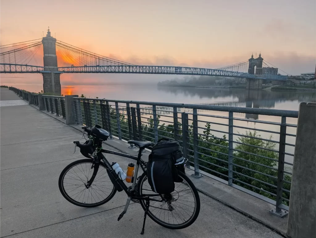
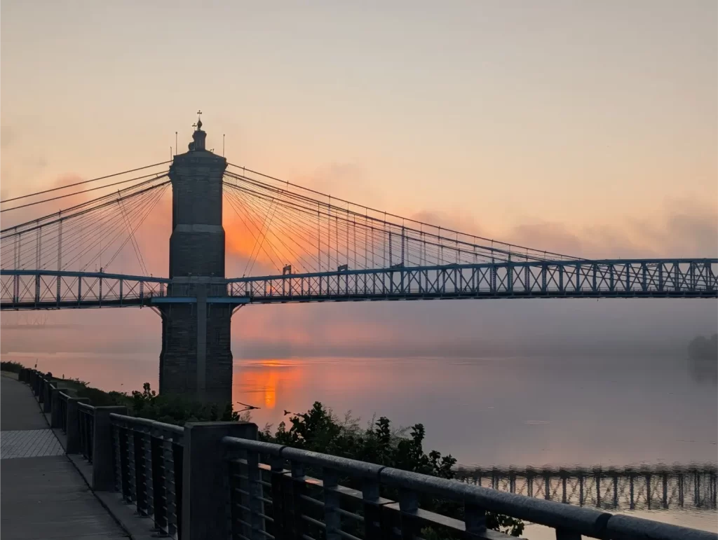
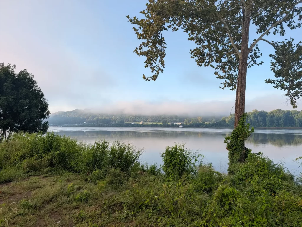
I started with the traditional dipping of my rear bike tire in the Ohio River. That’s supposed to signify you starting at the actual river.
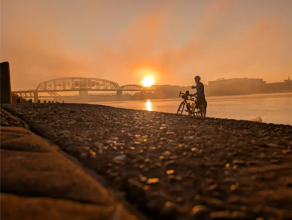
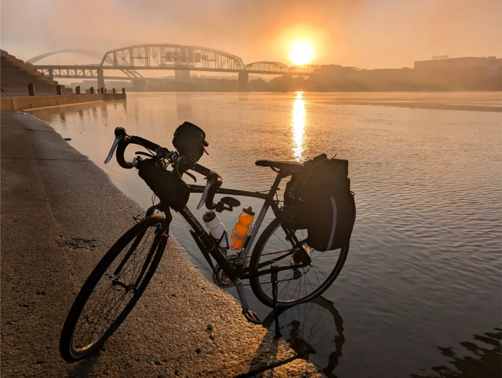
After that, I got rolling and started my ride at 7:48 am. I knew this would be a particularly hard day because it would be the hottest day of the week and a long ride.
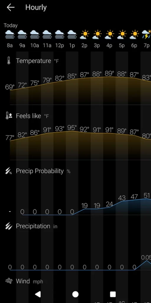
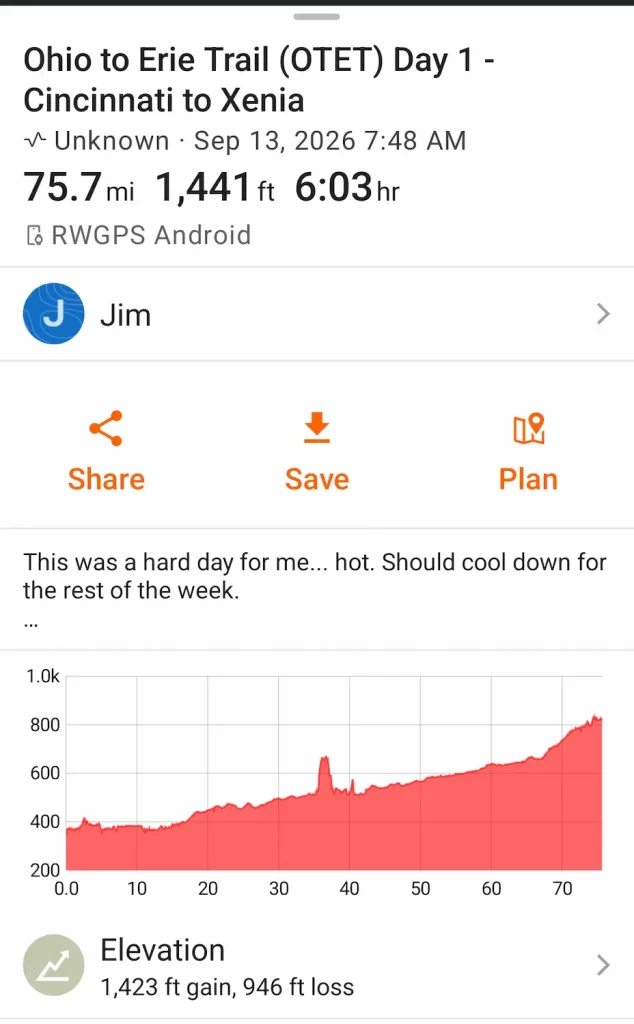
The good news is that I was starting with full energy since it was the first day. I needed it because it was a long day of mostly uphill riding.
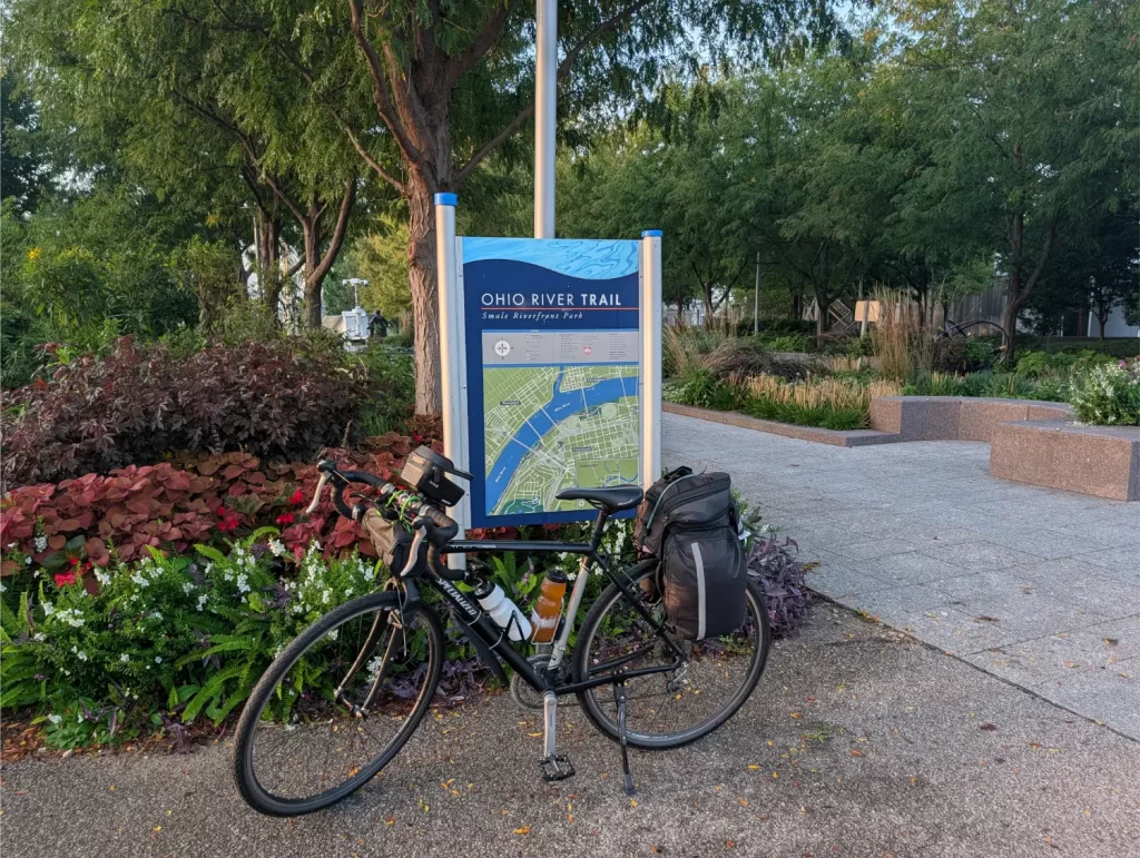
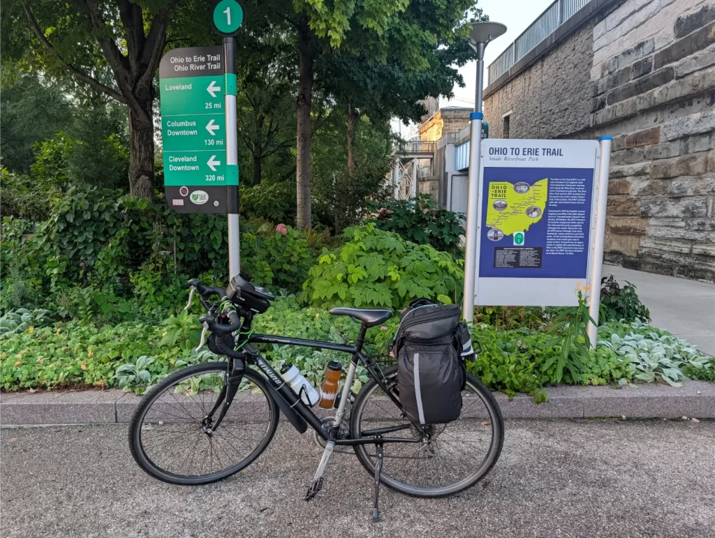
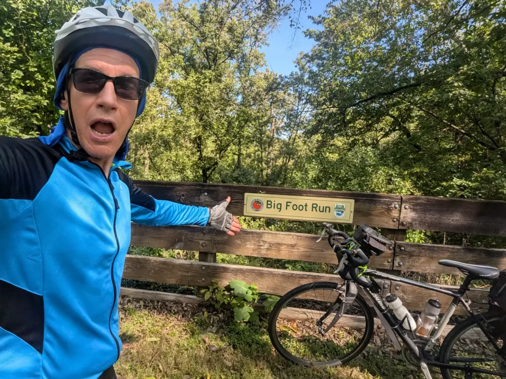
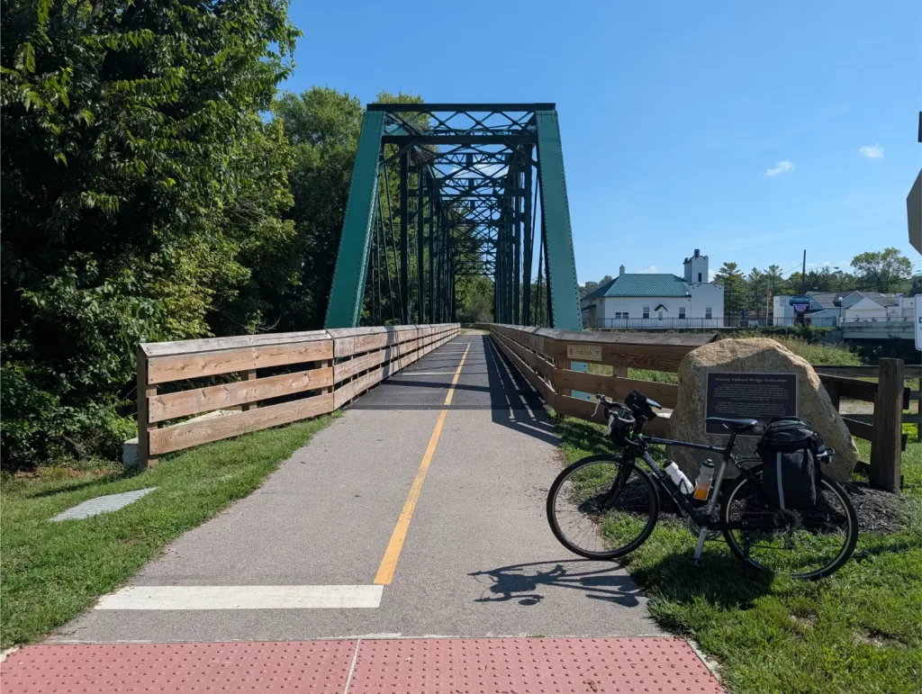
I got to my hotel (the Hampton Inn & Suites Xenia Dayton) around 4 pm, checked in, did my bike preparation for the next day, ate dinner, and went to sleep.
Day 2 (Mon): Xenia to Westerville
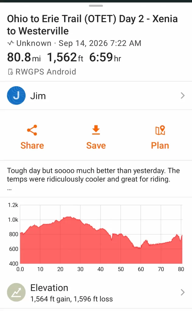
Day 2 was actually my longest ride of the entire Ohio to Erie Trail. However, because it was so much cooler out, it made for a much easier ride. I ate breakfast at the hotel and started my ride before 7:30 am.
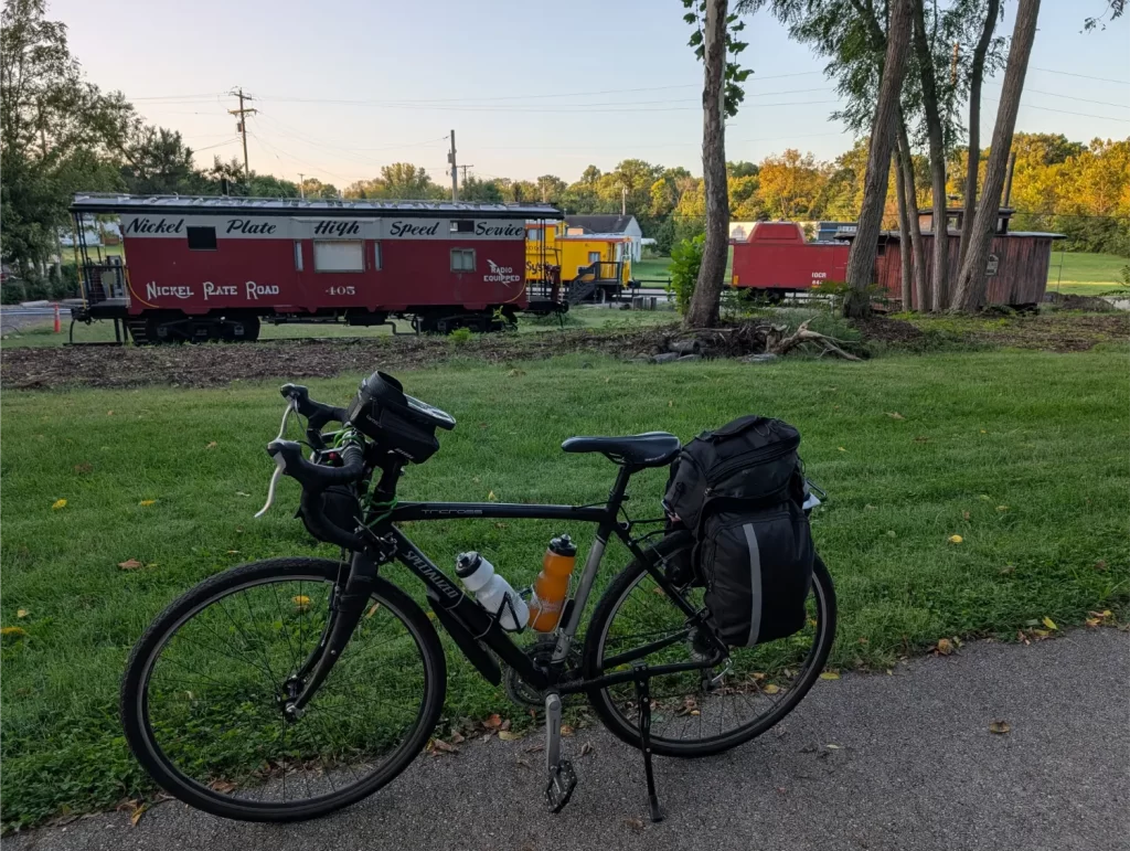
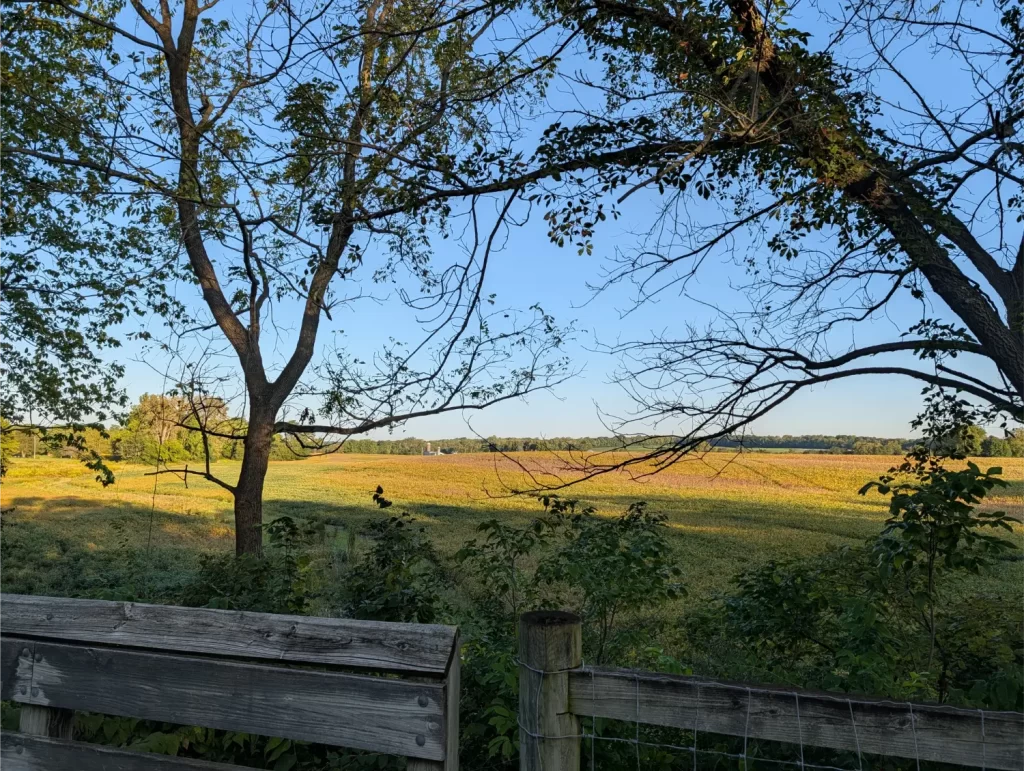
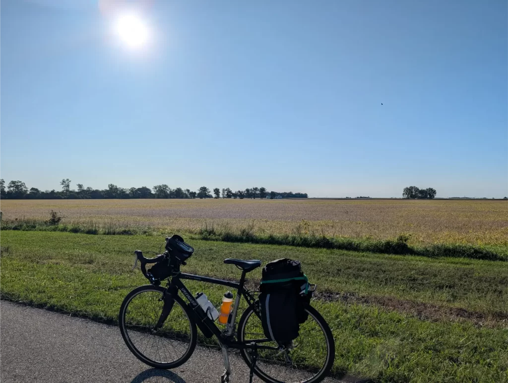
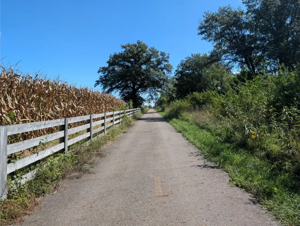
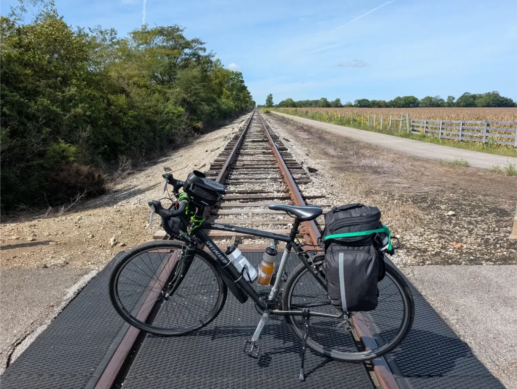
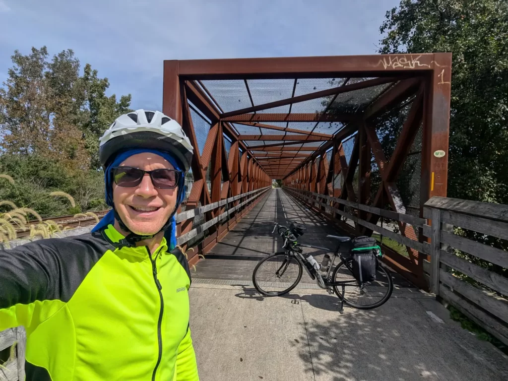
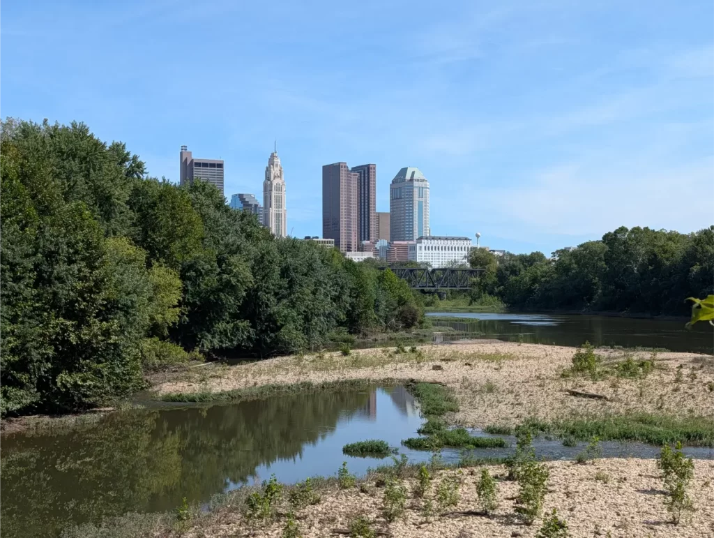
A little bit before I got to Columbus was the only time on the Ohio to Erie Trail that there was a little uneasiness in my surroundings. I don’t want to say that I felt unsafe, but I was definitely more conscious of everything around me. There were a lot of homeless folks right on the trail for about 20-30 minutes before I got to Columbus. This is truly not a knock on the homeless – many have just fallen on hard times. But it only takes one person who also has some sort of mental illness to change the dynamic of both our lives forever.
I had my daughter’s pepper spray gel in the back of my jersey for easy access if I needed it and just rode through while being extra aware of everything. There were no problems whatsoever, but I’m just mentioning it so others wanting to bike this trail aren’t surprised like I was.
Coming up into downtown Columbus on the OTET was exciting because it was a prominent landmark in my head. I’ve lived in Ohio for most of my life, so I can picture on a map right where Columbus is. It gave me some satisfaction knowing I was making good progress.
And riding through the city wasn’t very hard. There were some parts where I was riding in the streets with traffic, but it went very smoothly.
The big problem I had on this day was that once I got pretty close to my hotel, I went down the curb at an intersection to cross a busy road (on purpose), and one of the pannier bags on my bike ripped almost completely off.
That sucked. I cut it completely off with my knife and then had to try to carry it while riding uphill for about 1.5 miles until I got to the hotel. That was really hard to do, but I just kept thinking, “Better now than if I was in the middle of a rural area somewhere.”
Between the long ride and the bag incident, I didn’t get to my hotel (the Fairfield by Marriott Inn & Suites Columbus Polaris) until 5 pm. Then I had to rush out and find a store that sold a replacement (which turned out to be DICK’S House of Sport), take a Lyft there, buy the overpriced panniers, and then Lyft back to the hotel.
I then grabbed a quick dinner, did my bike prep for the next day, and went to sleep.
Day 3 (Tue): Westerville to Mount Vernon
After breakfast, Day 3 of the Ohio to Erie Trail began a little rough. I started riding around 7:30 am and the right side of the new panniers kept getting caught in my back wheel. They were so much bigger than my old ones (that was all they had), and I didn’t have time or a good option to easily get this done right.
So, when the bag really got caught and actually stopped my bike completely, I stood a moment and sighed. Then I looked up and saw that I was right across the street from Home Depot. Nice!
I went into the store and ended up buying a few odds and ends like bungees and zip ties to try to figure something out. In the end, the bungee did a nice job of preventing the right pannier from going into the wheel anymore…
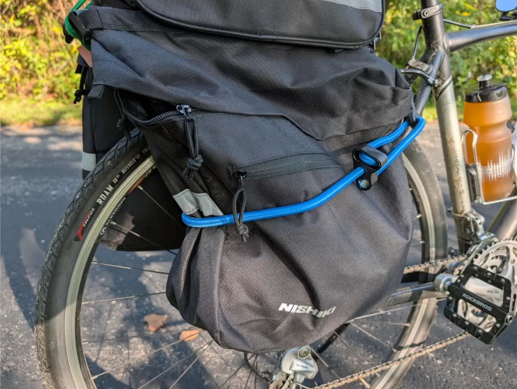
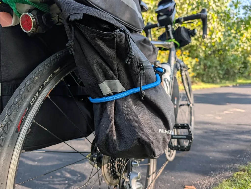
Not an ideal fix, but good enough to get me back on the OTET!
Luckily, this was another cool day – not to mention a much shorter ride.
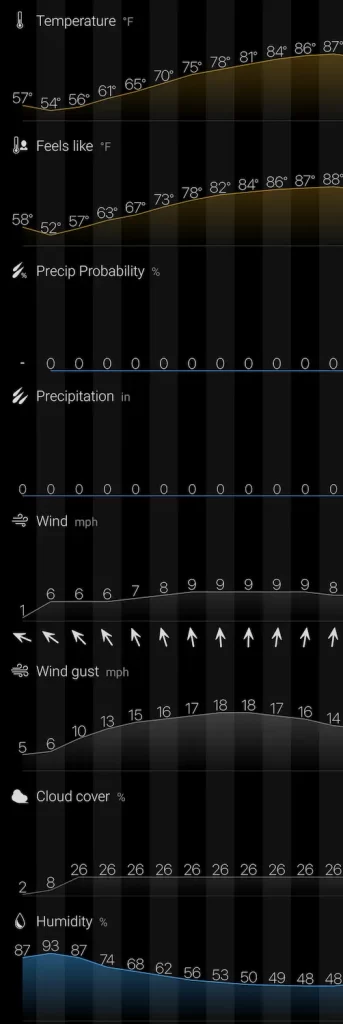
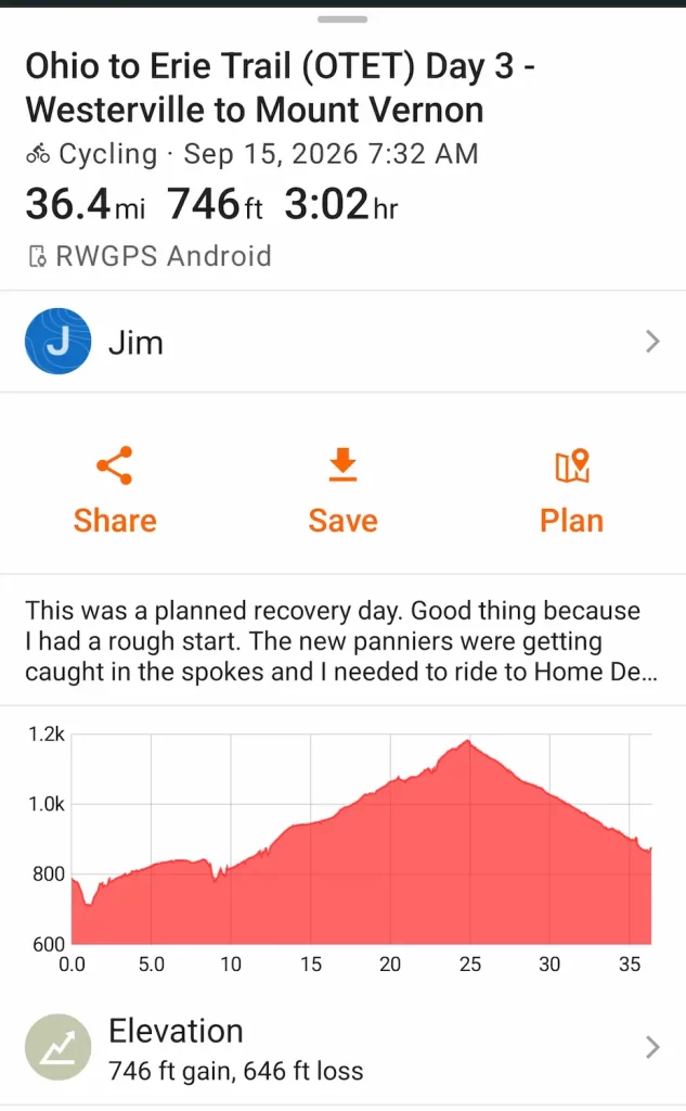
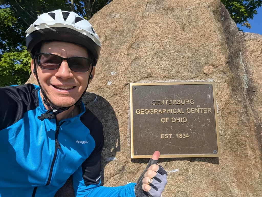
And I made it to the geographic center of Ohio. This was another exciting OTET landmark. Knowing I was right in the middle of the state really made me feel like I was moving along well!
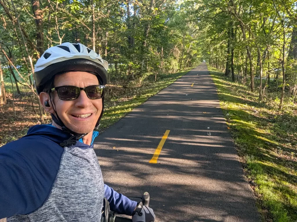
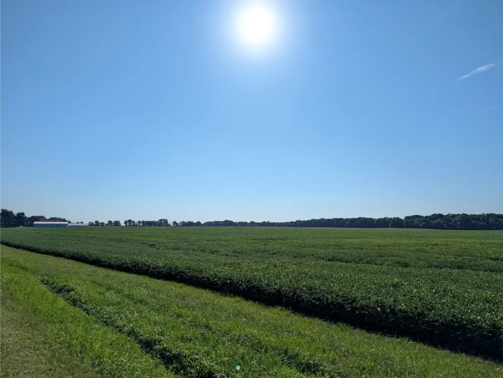
Before I got to Mount Vernon, I had a fun stop at the Rastin Observation Tower. The area was an old industrial site, and they turned it into a beautiful park. And what was once a big smokestack was converted into a cool observation tower that’s free to climb up and enjoy the views.
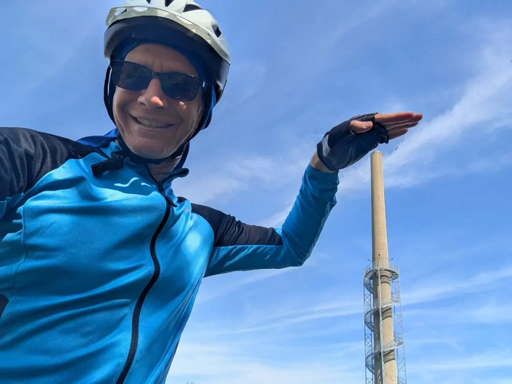
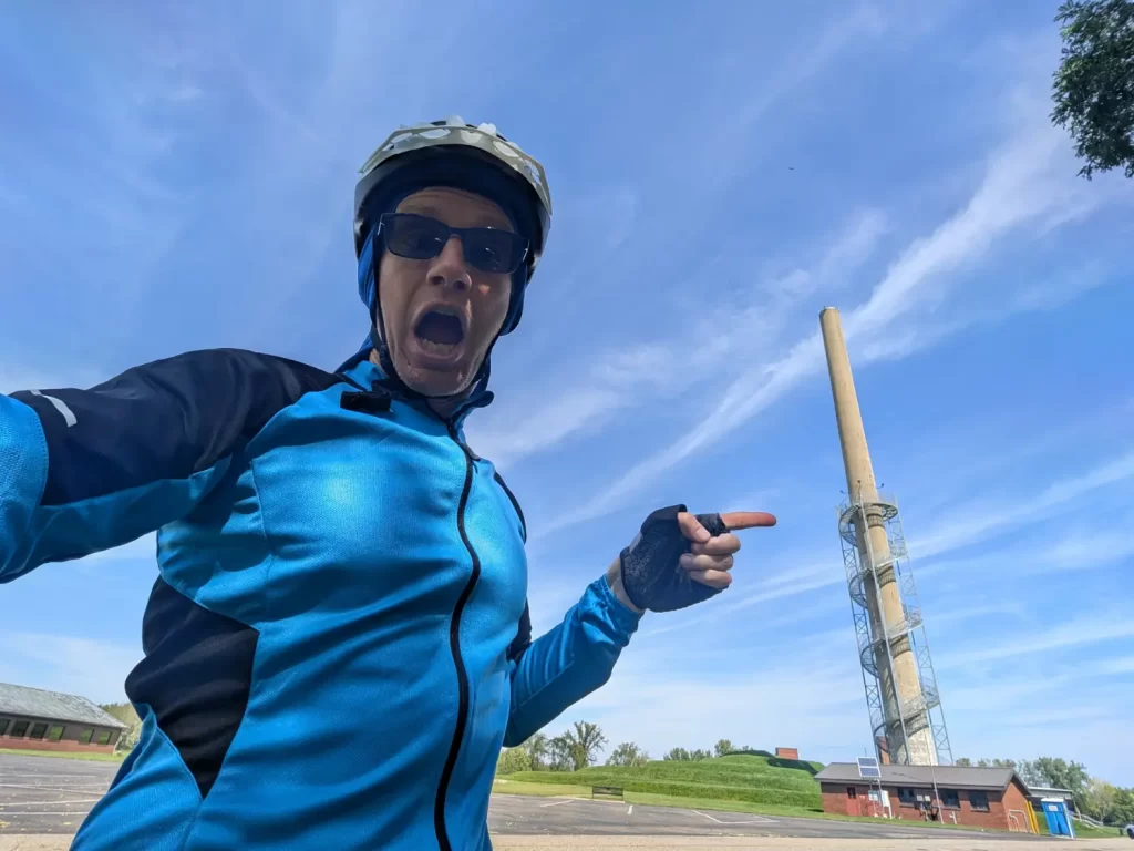
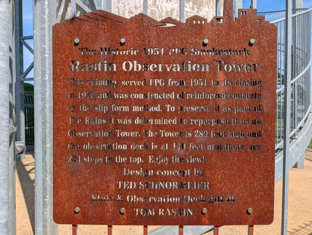
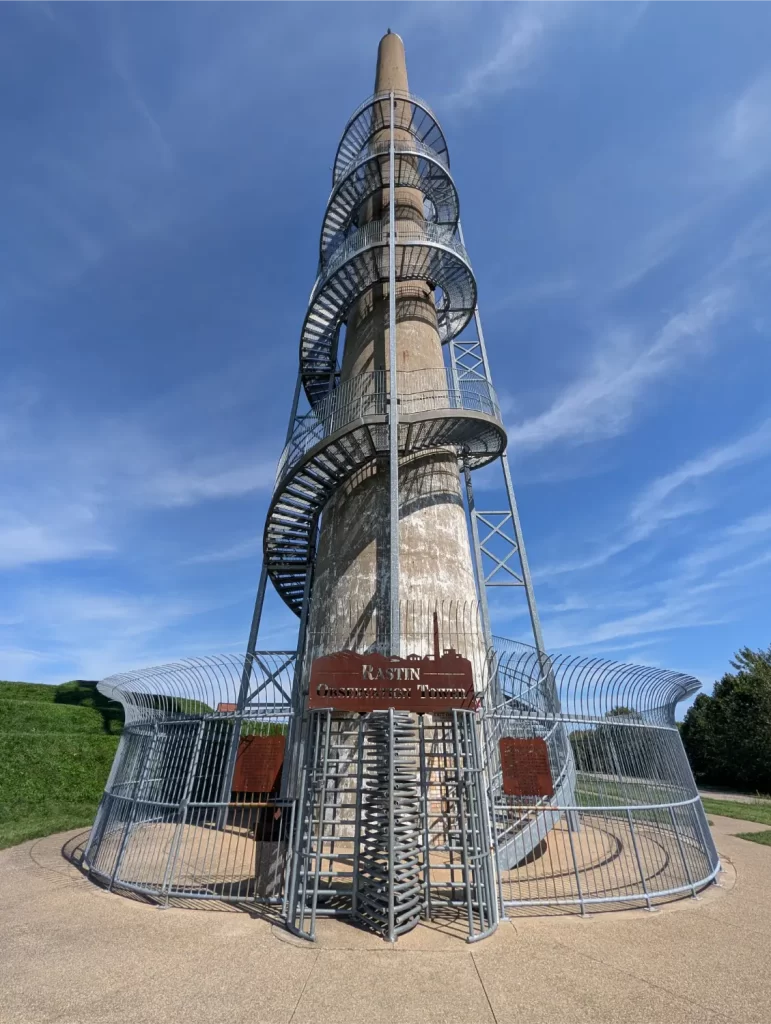
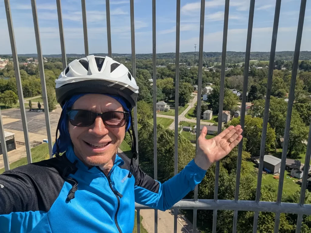
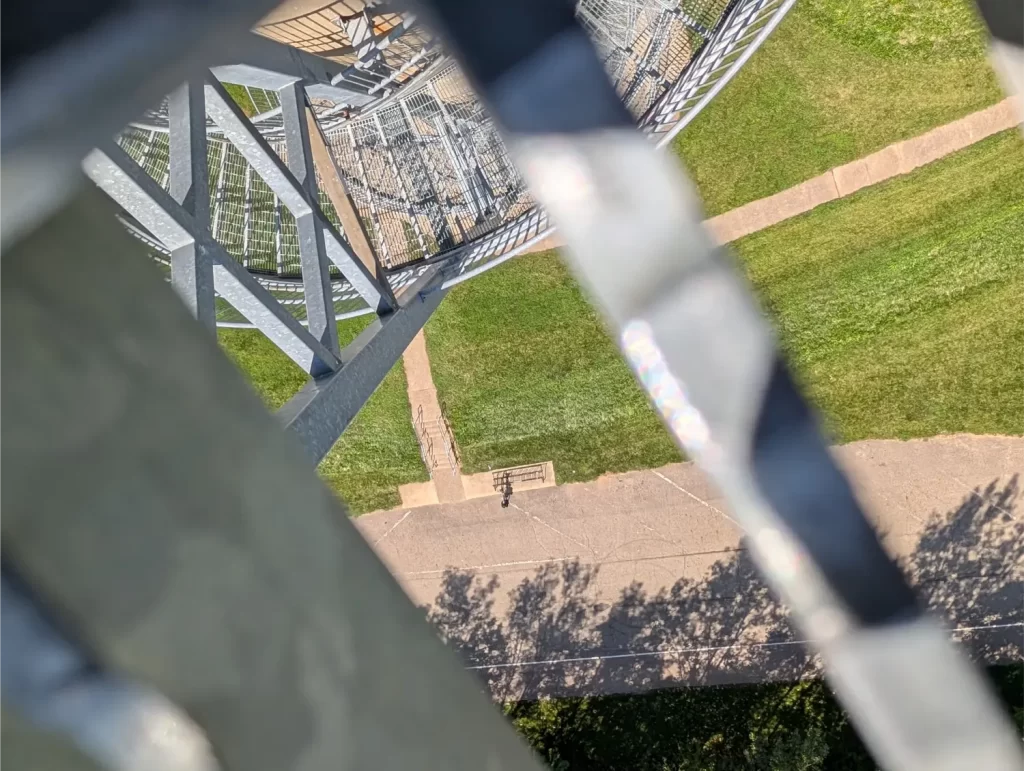
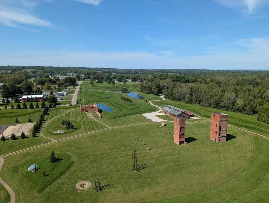
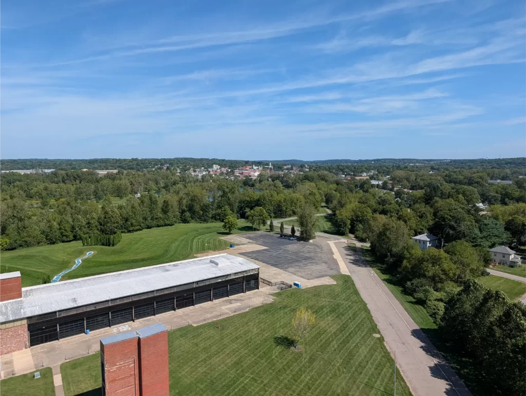
The sign claims it’s 224 steps to the top, but I counted 238 when I went up and the same when I went down. Maybe that’s that new math coming into play! 🙂
This was an early finish to the day. I checked into my hotel (The Mount Vernon Grand Hotel) at about 1:30 pm. That was good because I needed a little bit of a rest. I did like being right in the middle of this small town.
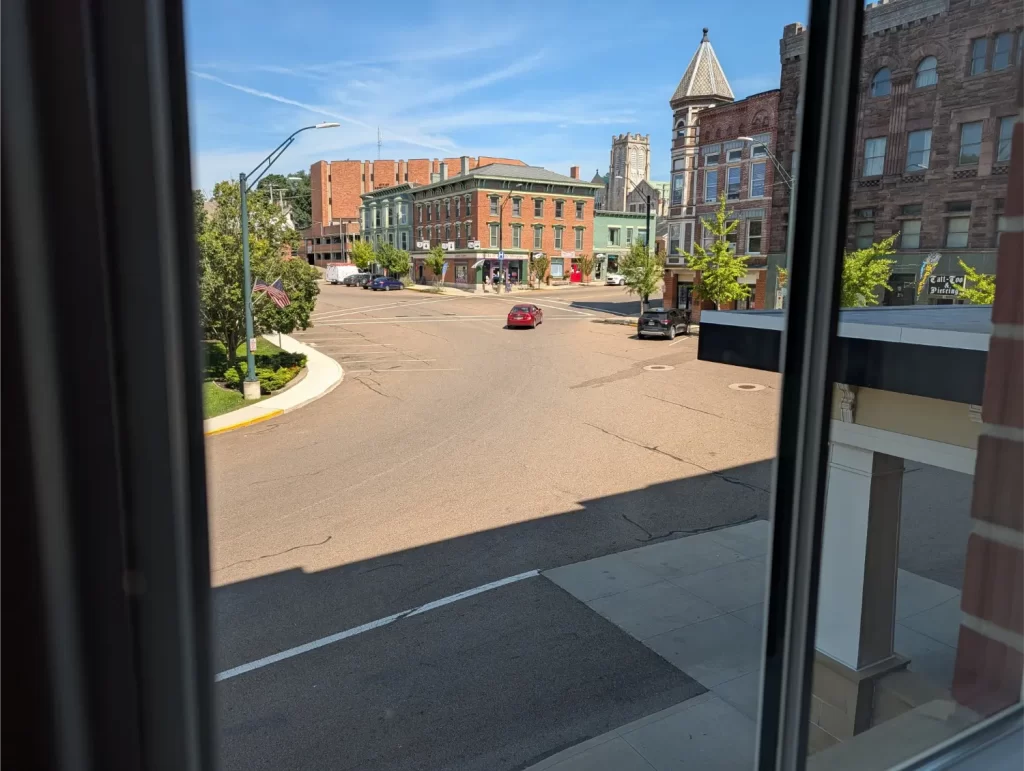
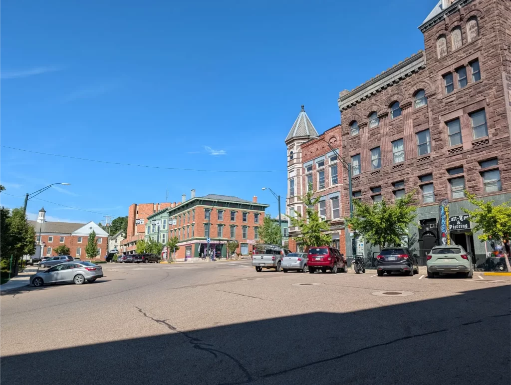
It also gave me a chance to enjoy a nice lunch/dinner from Rijsttafel Southeast Asian Kitchen. Tomorrow was the day I knew I should be the most nervous about: Amish country with rolling hills… or so I thought!
Day 4 (Wed): Mount Vernon to Millersburg
In my head, we (me and the AI) had designed this day to be short for multiple reasons, but the biggest being that it would be the hilliest on the open roads as I would go through Amish country.
After breakfast, I started back for the OTET around 7:15 am.
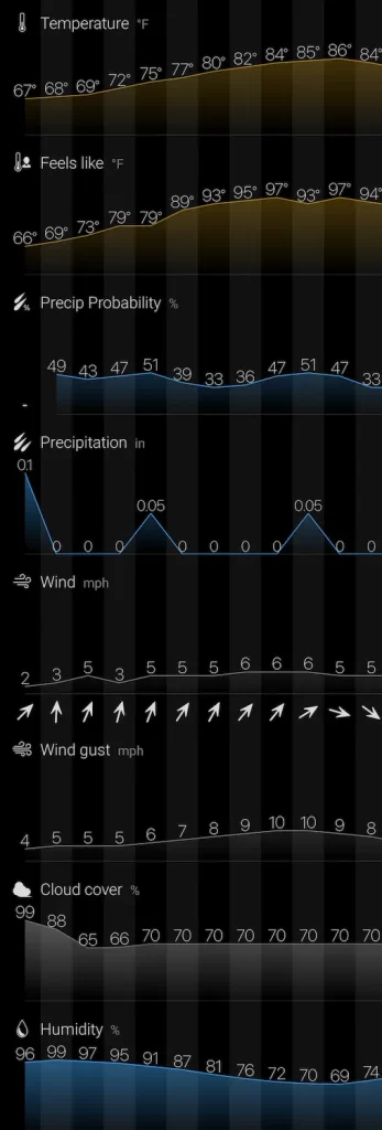
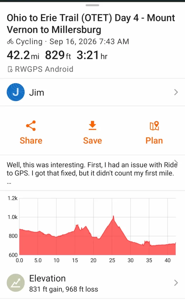
If you notice, the screenshot shows that I started at almost a quarter to 8 am instead of 7:15 am. Why the half-hour discrepancy? Because I had some problems with the Ride with GPS app, where it just kept pausing on its own. In the end, it only skipped about 0.5 miles of riding, but it cost me about a half hour troubleshooting it while standing off to the side of the Ohio to Erie Trail.
Luckily, I got it fixed (I had to completely uninstall and reinstall it), and it didn’t cause any more issues for the rest of the OTET.
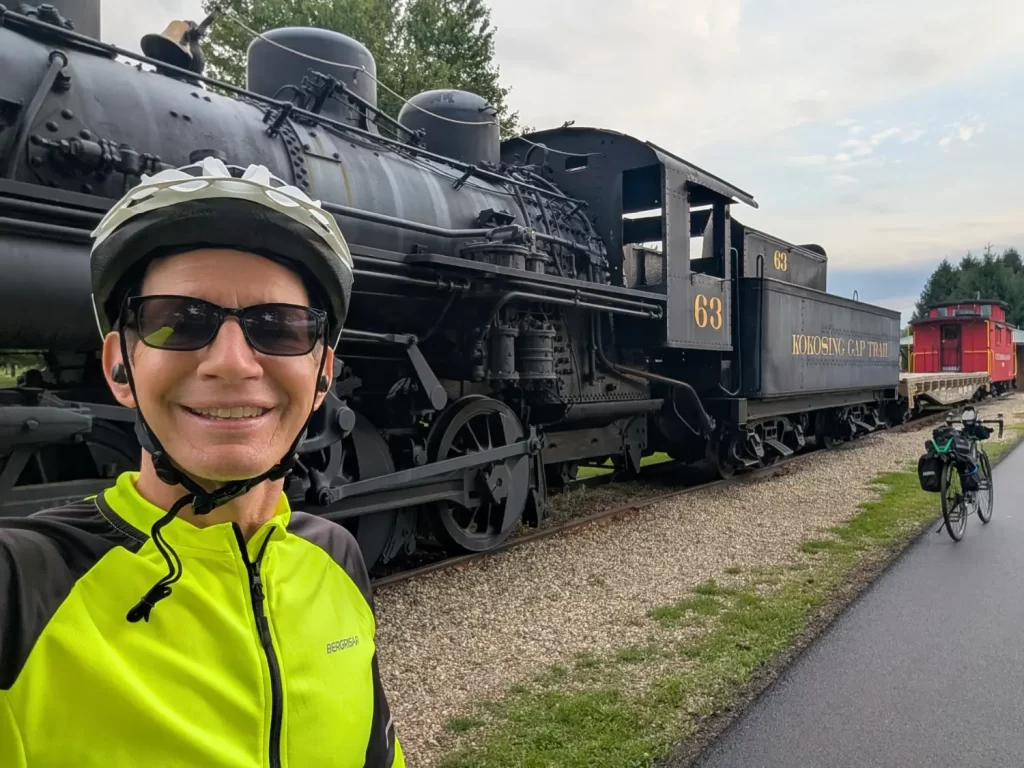
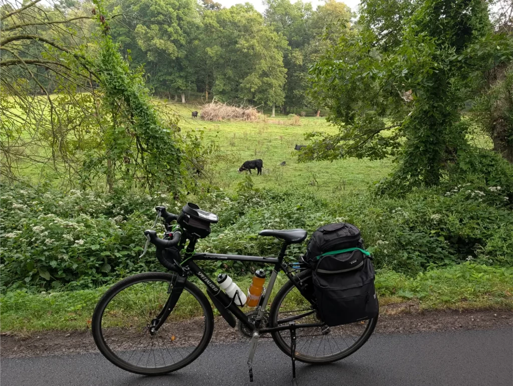
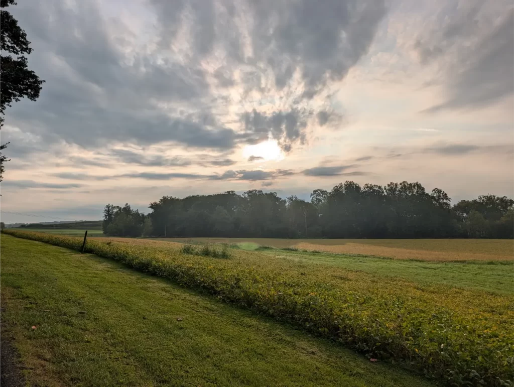
I stopped at a pharmacy in Danville because my nose kept running and my throat felt a little scratchy. I felt fine other than that, but getting a cold this early in my Ohio to Erie Trail ride wouldn’t be good. I had already been taking my regular multivitamin, vitamin C, and Vitamin B12, but I picked up some Zinc to at least hopefully shorten it.
My next hurdle was a detour on the OTET. I knew that was the case thanks to the Alerts page of the Ohio to Erie Trail website, and from my AI friends helping me plan this out.
The thing is… it didn’t look like it would be problematic, and I was thinking of just going around the sign. That’s when I bumped into Richard, a 72-year-old bike rider from the area. Together, we decided to go around the detour sign and try to shave off the extra 2-3 miles by pushing forward on the trail.
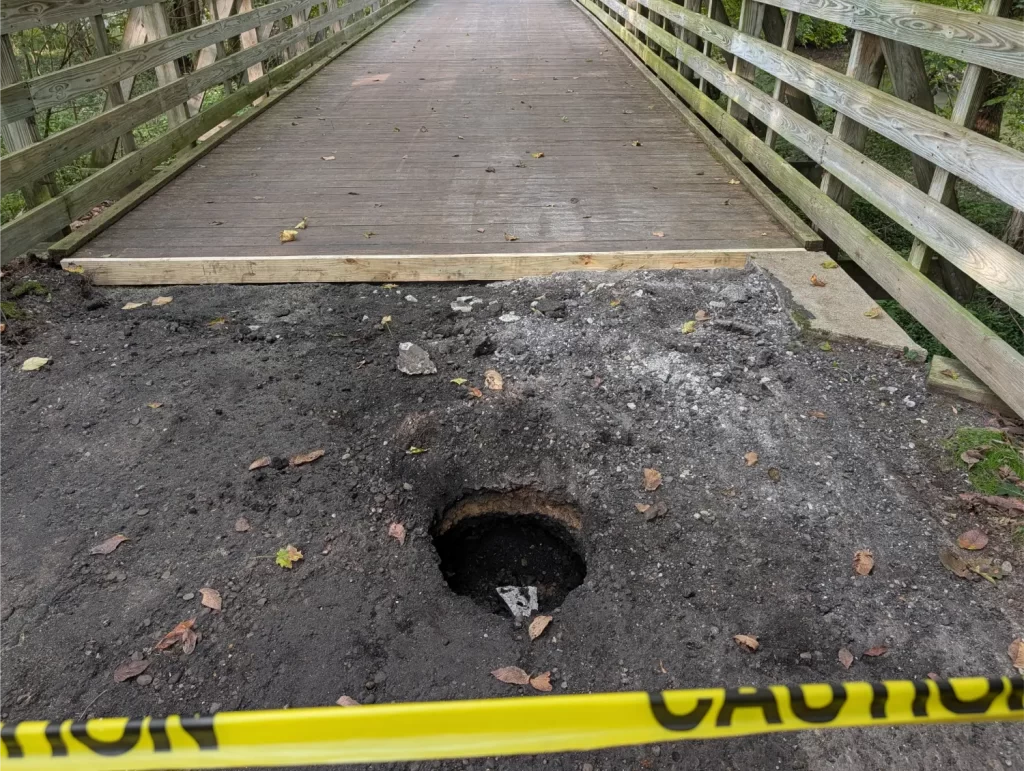
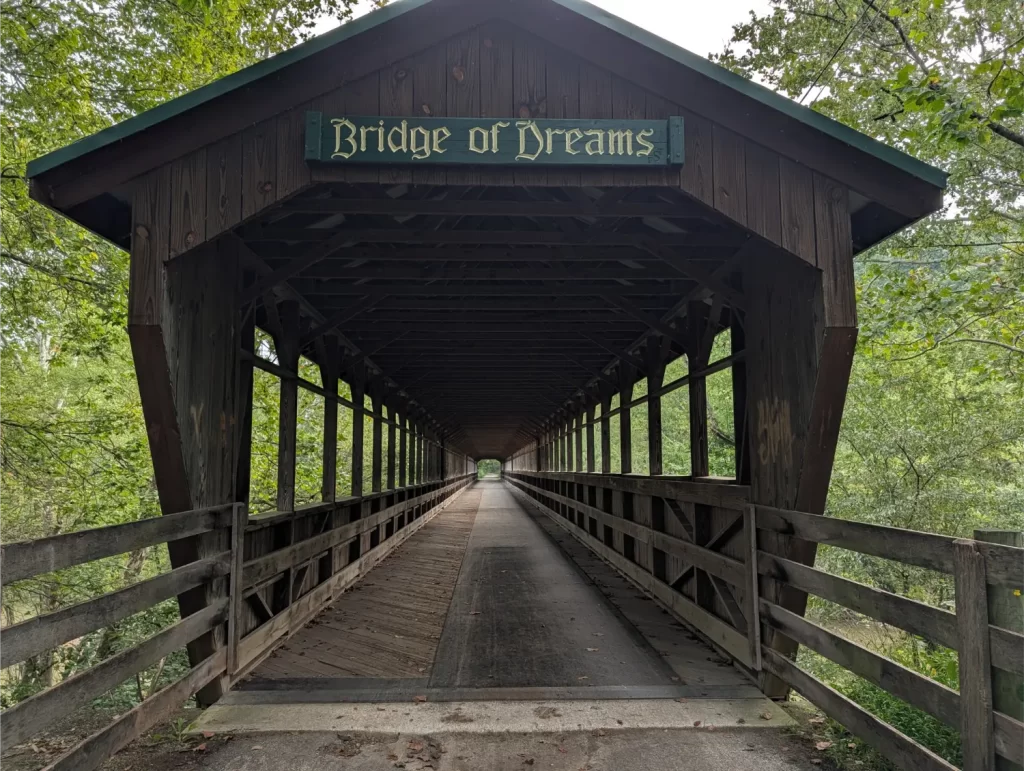
That worked well for a good part of the trail, which did have the asphalt ripped up. But then we got to a bridge that was blocked completely off with caution tape.
Richard said, “Well, let’s turn back. We can cut through one of my friend’s property nearby to get us over to the detour.”
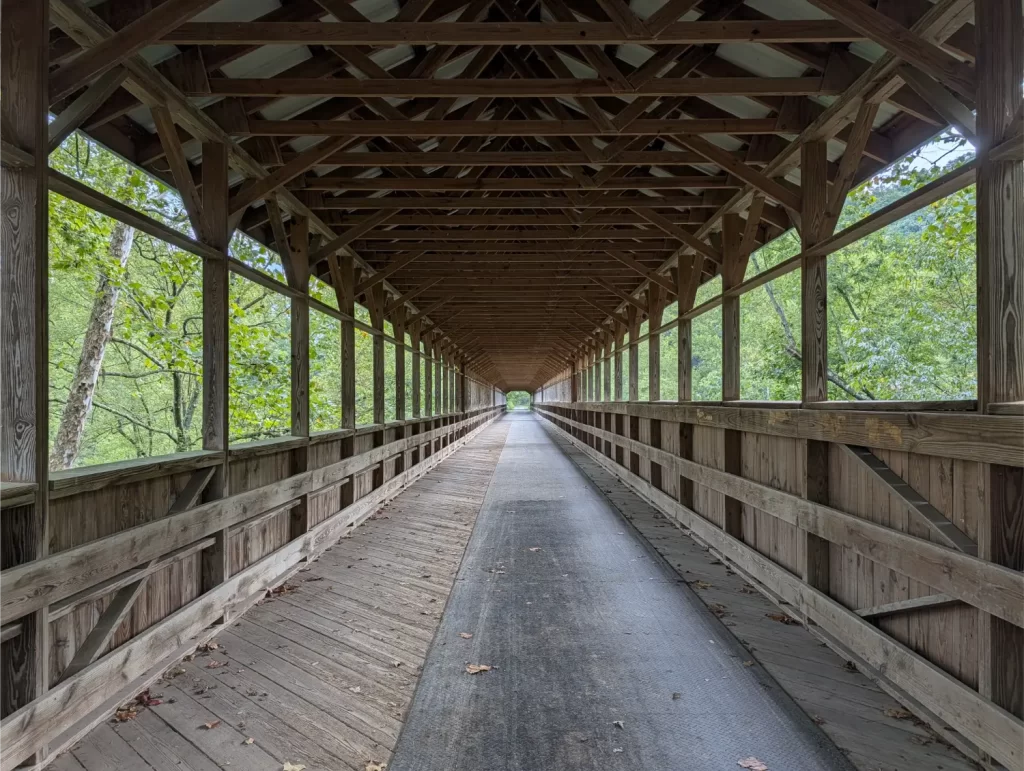
But I just stood there looking at the bridge and beyond it. The bridge looked pretty new, with newer boards all the way across. And beyond that, the trail looked the same as we had been riding through up until this point. And soon after, the detour part of the trail would be over.
I said, “I think I’m going to go across.” He was a little bit in disbelief, but then offered to help hold the warning tape while I got my bike under it. I cautiously walked my bike across the bridge, and he followed and said he’d lift the warning tape on the other side as well.
Here’s where things got interesting. The tape blocking the way out wasn’t at the bridge, but actually a handful of feet out onto the asphalt.
Richard pulled the tape up for me as I worked my bike to the other side. I had my back to him doing this and then, all of a sudden, he yelled.
I turned around to see that he had fallen into a hole up to his knee and scraped it up a bit. He said, “I didn’t even see that hole there.”
And that’s when I said, “That’s because it wasn’t there before.” Yikes! I told him to get on the bridge and get off that asphalt. That was a little scary!
That’s when we parted ways, and I continued on.
The really funny part is that later, I was a few miles from getting to my destination in Millersburg, and then some guy coming toward me passed me by.
“Richard??”
“Oh, hey, Jim – I didn’t recognize you. I was wondering how things went for you.”
Turns out, Richard took his shortcut, made it over to the detour, went to Millersburg, had lunch at Wendy’s, and was already on his way back. Damn, I’m slow.
In my defense, I did stop for lunch along the OTET, and he did have an e-bike, but still. Good stuff!
Anyway, Richard and I talked, and he asked me about the big hill a little earlier that we each had to take. I told him that it did suck, but I was surprised because I had expected a lot more hills this segment.
That’s when he crushed my soul and told me that this isn’t the big day. Tomorrow would actually be my tough day with all the big hills on the open roads in Amish country.
That was depressing because tomorrow was also going to be one of my longest rides on the Ohio to Erie Trail… and that’s before including all the hills. Ugh.
I got to my hotel (the Comfort Inn Millersburg) a little after 12:30 pm. I wish I could have kept riding to cut off some mileage for tomorrow, but it was too late to cancel my hotel reservation, and I don’t know where I would have found a stopping point later anyway. Well, at least I had another short day so I could rest up for the big day tomorrow.
I also started getting saddle sores at the end of day 3, and today, it was getting really bad. I ended up walking over to an IGA store and getting Desitin Maximum Strength Diaper Rash. Yeah, I said it. I put that on back in my hotel room and the pain just drifted away – no wonder babies like this stuff!
Day 5 (Thu): Millersburg to Akron
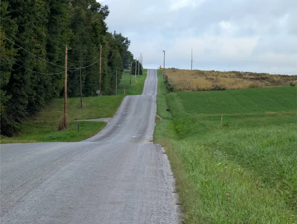
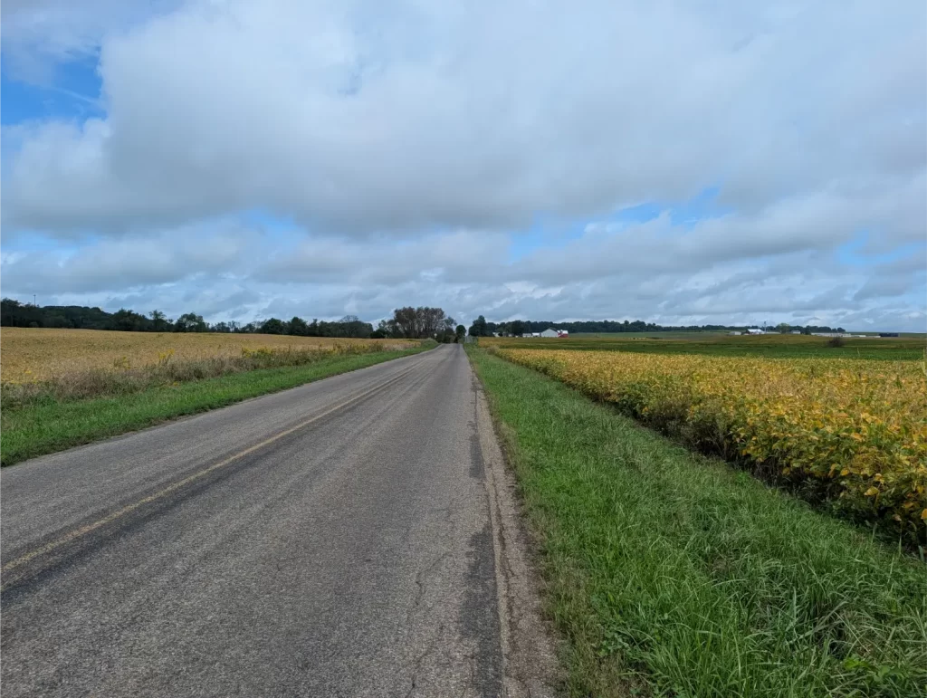
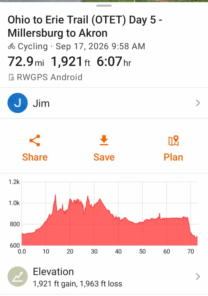
Crap. This now became the big day I had been dreading.
But just to make it more interesting, let’s throw in some rain showers.
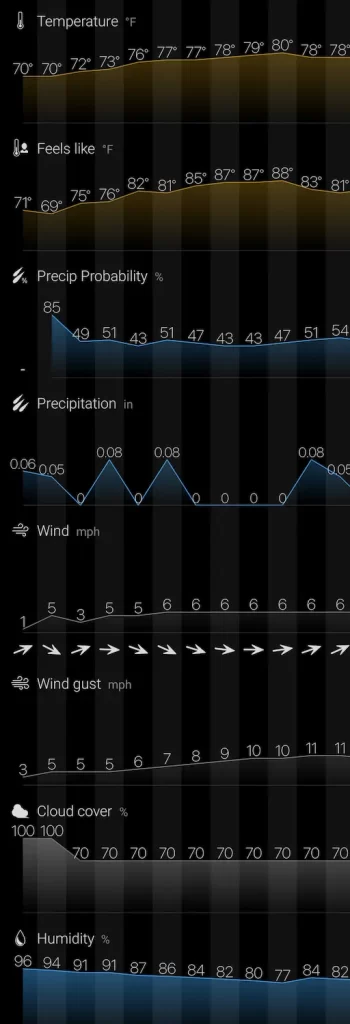
It poured all morning. I watched the radar religiously all morning and I really didn’t think I was going to be able to get out at all. In fact, I asked the front desk person what the availability and cost would be of another night at the hotel.
The tough part was that I had a 10-mile stretch after the hotel where I knew there was no place to take shelter. So, whenever I would leave, I had to assume an hour (more or less) until I could get to someplace safe. I wasn’t so worried about rain, but lightning isn’t something I want to mess around with.
In the end, I found a window of opportunity, left the hotel, and hit the Ohio to Erie Trail about 10 am. I rode fast for a couple of hours. But then, the clouds looked bad. I ended up taking shelter under a big picnic pavilion at Dalton Village Park.
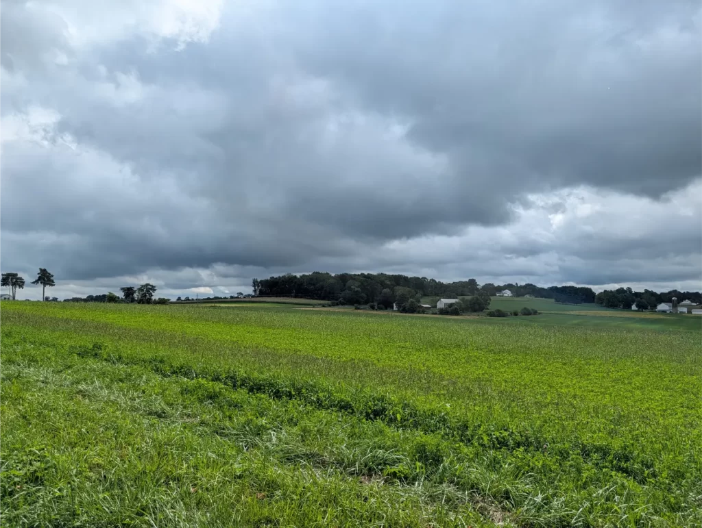
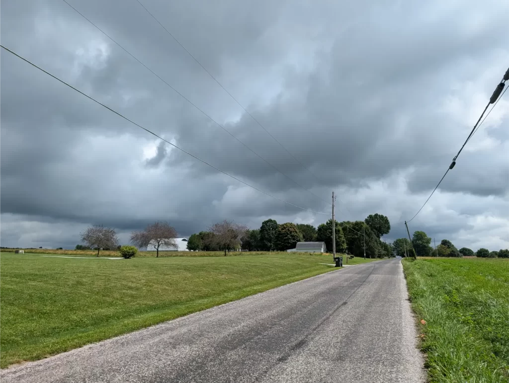
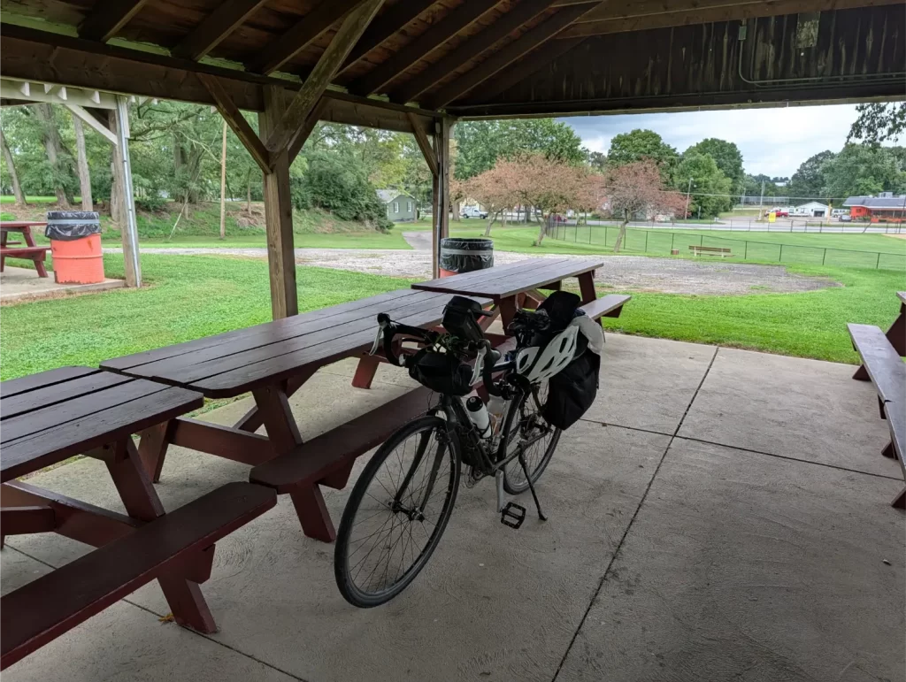
My timing was impeccable. As soon as I got under the pavilion, the heavens opened up. It turned out to be a quick shower, but the radar was showing a big one coming my way. It didn’t look like a thunderstorm, though, or I would have found somewhere to hunker down indoors. But I stayed at the pavilion for a couple of hours and ate lunch and tried to enjoy being able to rest.
It looked like it was going to be a much longer wait while the next big rainstorm was coming, but then all the radar forecasts were showing all these storms dissipating right before they would get to me.
I took a chance and went for it. It turned out to be a good gamble because I didn’t get rained on at all.
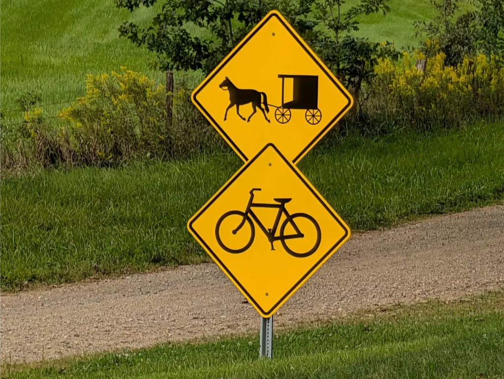
On the flip side, this was a hard ride. The humidity stayed high all day, and the hills were really tough. But my anxiety about the open roads and having to worry about rushing cars and the Amish with the horse and buggies was overblown. The roads were relatively quiet, and I only saw 2 horse and buggies the entire day.
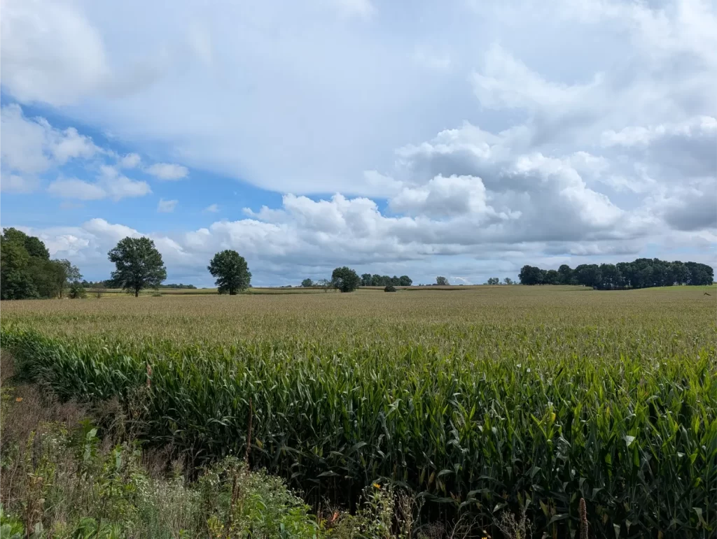
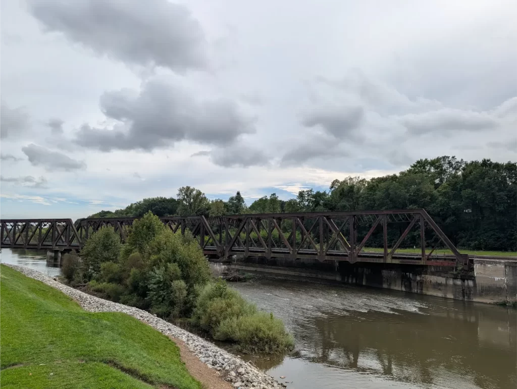
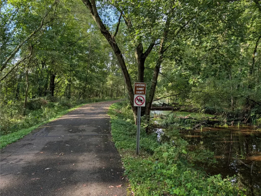
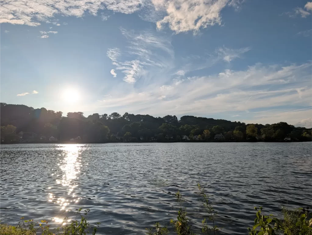
Regardless, getting to the stopping point I wanted to was really tough. My legs were actually just fine, but my saddle sores were killing me. I took small, frequent breaks and tried to stand on my pedals a lot when I could instead of sitting. It was painful.
I ended up getting to Big Bend Trailhead just past Akron at about 7 pm. That was a long day. But my wife picked me up, and I got to sleep in my own bed that night.
Day 6 (Fri): Akron to Cleveland
Ah, the last day… I can see the Ohio to Erie Trail finish line from here!
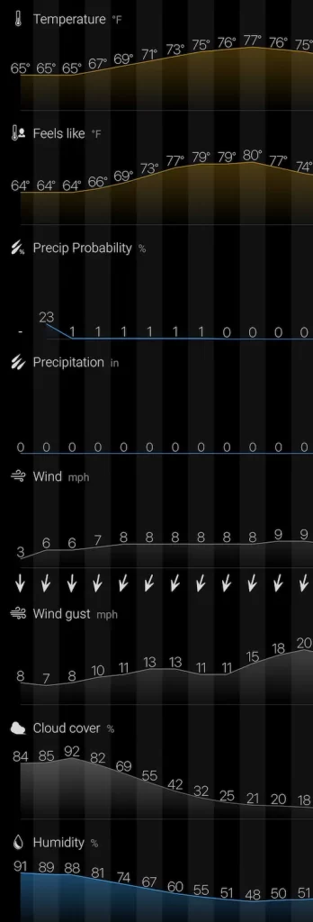
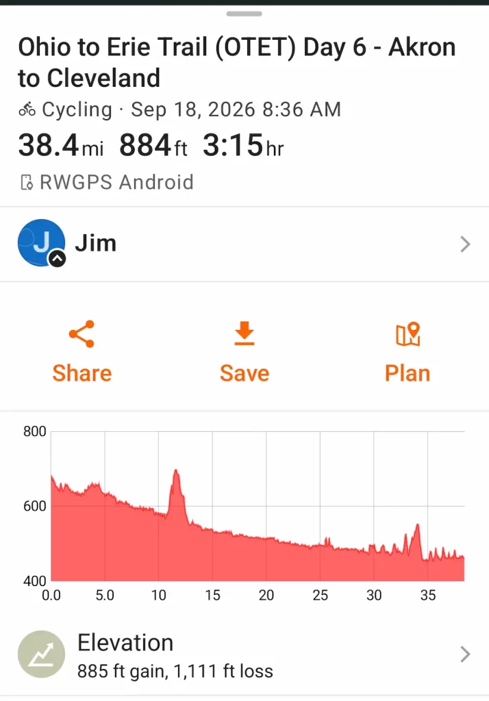
There were several things about this day that I was looking forward to:
- It’s a “short” riding day – under 40 miles.
- It’s mostly downhill riding… finally!!!
- The weather is perfect.
- I got to unload some weight I wouldn’t need anymore (the panniers, clothes, some tools, some food, etc.).
Really, the only downside to this day was my saddle sores… and that was a massive downside. But sometimes, you just gotta put your big boy pants on and suck it up.
Since this was a much shorter day, I left a little later. My wife drove me back to Big Bend Trailhead so I could continue right where I left off on the OTET, and I hit the trail about 8:30 am.
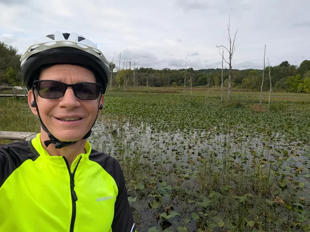
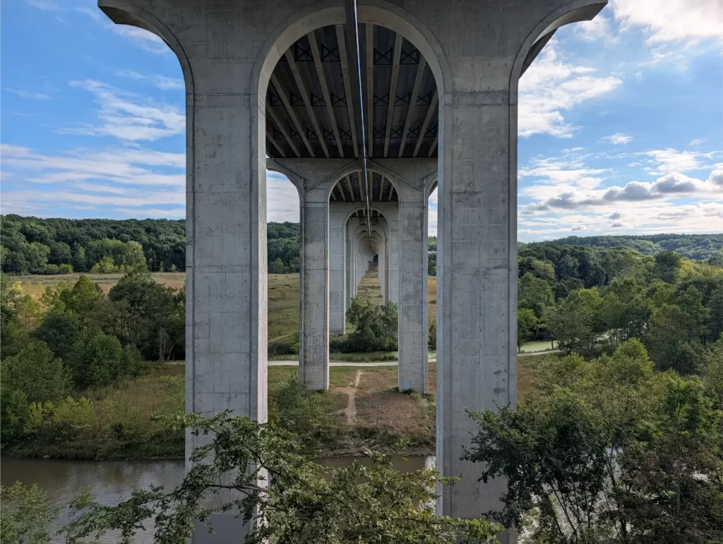
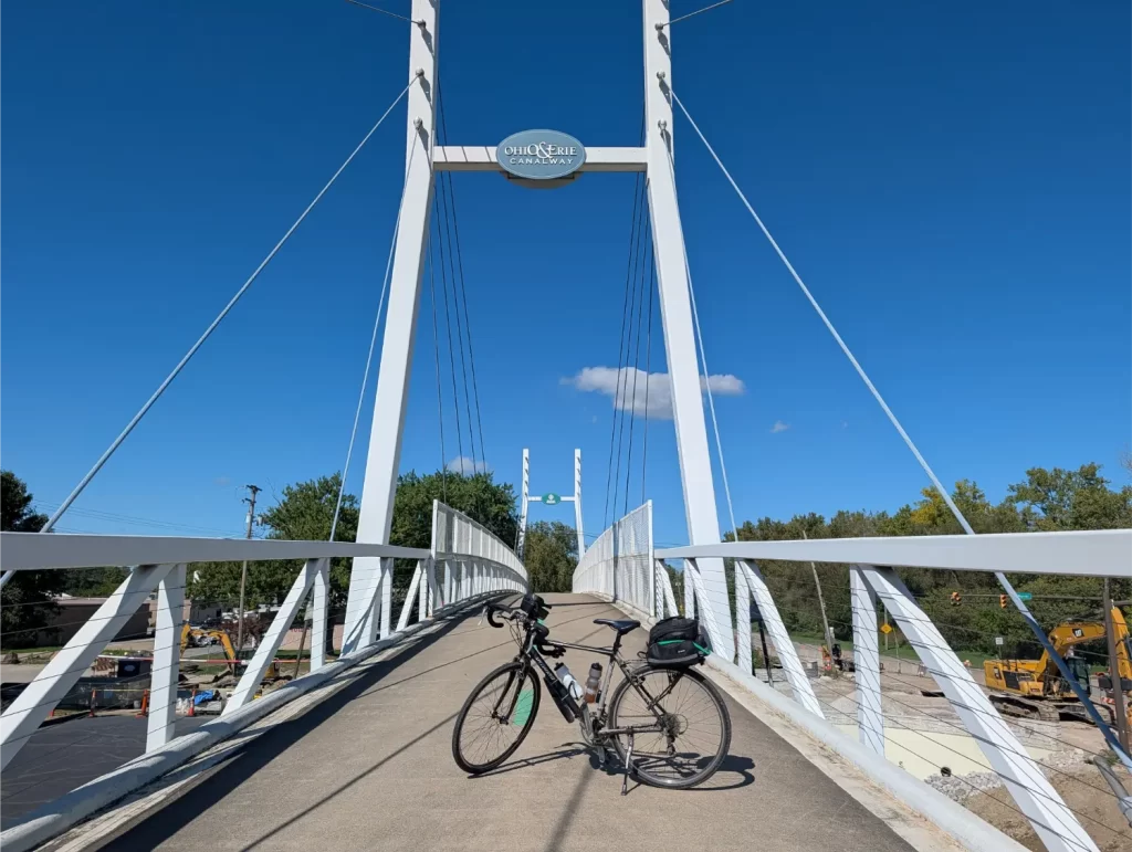
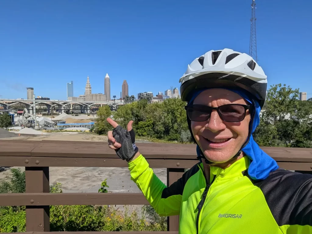
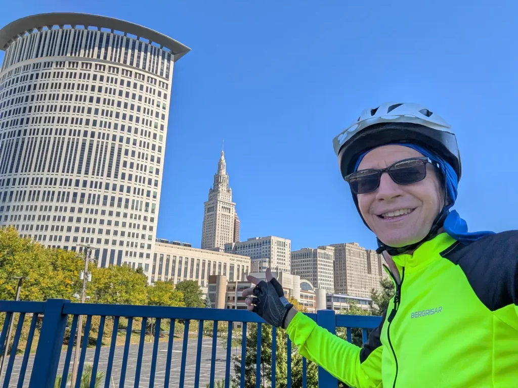
Four hours later, I was able to dip my front tire into Lake Erie at Edgewater Park, per tradition. That signified the end of my incredible ride from the Ohio River in Cincinnati to Lake Erie in Cleveland. What a ride!
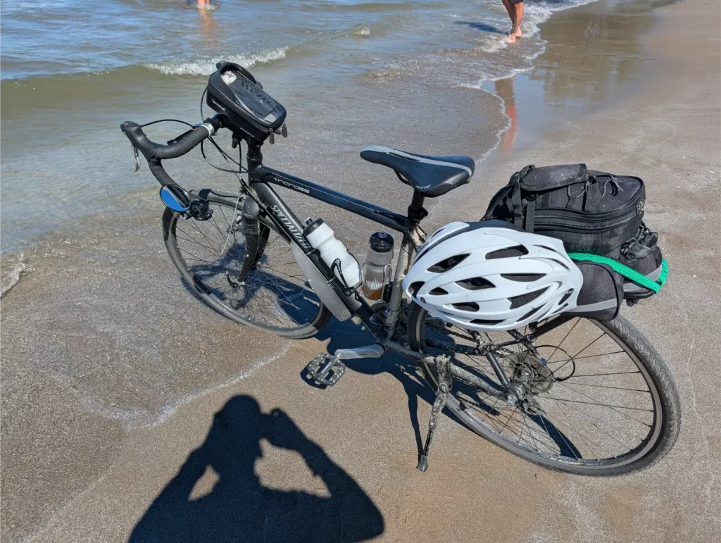
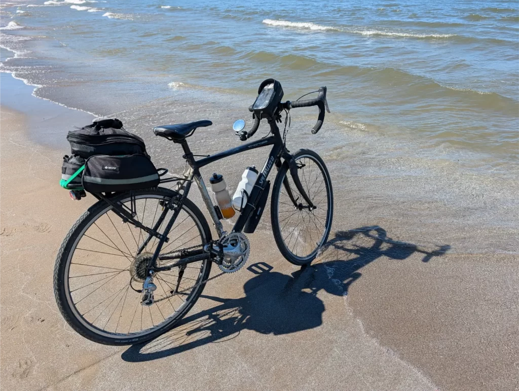
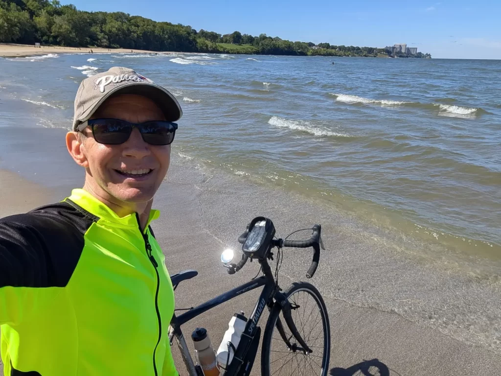
I CAN do that... and I did.
My Ohio to Erie Trail (OTET) Stats
Day 1 (Sun) Cincinnati to Xenia:
75.7 miles
6:03:02 moving, 1:56:12 stopped
Average moving speed: 12.5 mph
Day 2 (Mon) Xenia to Westerville:
80.8 miles
6:59:17 moving, 2:38:56 stopped
Average moving speed: 11.5 mph
Day 3 (Tue) Westerville to Mount Vernon:
36.4 miles
3:02:21 moving, 2:29:31 stopped
Average moving speed: 11.9 mph
Day 4 (Wed) Mount Vernon to Millersburg:
42.2 + 0.5 miles = 42.7 miles
3:21:19 moving, 1:34:57 stopped
Average moving speed: 12.5 mph
Day 5 (Thu) Millersburg to Akron:
72.9 miles
6:07:36 moving, 3:00:10 stopped
Average moving speed: 11.9 mph
Day 6 (Fri) Akron to Cleveland:
38.4 miles
3:15:20 moving, 0:46:58 stopped
Average moving speed: 11.8 mph
===================
346.45 miles total
Total moving time: 28:48:55
Total stopped time: 12:26:44
Combined elapsed time: 41:15:39
Across the six days, I spent about 69.8% of the time moving and 30.2% stopped.
My time-weighted average riding speed was 12.04 mph.
Even though the Ohio to Erie Trail is officially 326 miles, my extra 20 miles came from going to and from the hotels each day and going off the trail to get to places like stores or the pharmacy.
What surprised me about the Ohio to Erie Trail adventure?
I guess I don’t care about restaurants and a lot of the sites.
I really anticipated that I would leisurely stop off for ice cream here, a burger there, and visit different places throughout. I didn’t.
It didn’t take long for me to realize that I just don’t care about that stuff. I would much rather ride through and admire the country landscapes and small towns than stop and visit a lot of places. It’s just not my thing, I guess.
Additionally, I was focused on knocking out the OTET. I wanted to beat the heat later in the day, too, so I would ride more consistently. Plus, I’m not a fast rider. And finally, I knew I had a lot to do to get ready for the next day (more on that shortly), so I wanted to get to each hotel to give myself enough time for that.
That said, when something interested me, I stopped to check it out. For instance, that Rastin Observation Tower that I talked about on day 3 was up my alley and worth the stop and climbing to the top.
Where’s all my time in the evenings?
In my head while planning my OTET adventure, I assumed that I would get to the hotels around 3 or 4 pm and then just enjoy my restful evenings. I had downloaded tons of movies and shows on my phone to watch at the hotels. I had installed the Kindle app on my phone since I didn’t want to carry my Kindle Paperwhite on this trip.
And guess what? I didn’t watch a single thing on my phone or on the TV. And I only used the Kindle app on my phone once on the first night while in Cincinnati to finish reading a short story I had started before my trip.
The reason why is that I just didn’t have time. Every day when I would get to the hotel, I had a list of tasks that I wanted to get done:
- Bed bug check – we’ve been “bitten” by this before years ago, so that’s the first thing we do at every hotel, Airbnb, etc.
- Shower – that’s a necessity after the day’s ride!
- Find a place to get dinner.
- Charge my Google Pixel Buds (earbuds).
- Charge bike lights (front and rear lights).
- Top off the air in my bike tires. A small portable battery-powered pump like this one I used is a game changer!!!
- Charge the small air compressor that I just used to fill my tires.
- Mix and make my electrolyte drink with the Nuun Sport Electrolyte Powder Packets.
- Fill my water bottles.
- Knock out Worldle and Waffle, so I don’t lose my streaks!
- Practice my Spanish for the day.
- Check tomorrow’s weather.
I would also review the game plan for tomorrow with the AIs. Here were some of the things I had in my template for them to answer for me:
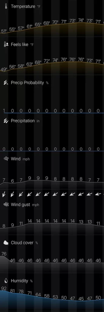
- The hourly weather for tomorrow’s segment, including temps, cloud cover, wind speed and direction (will it be helping or hurting me?), humidity, and chance of rain or thunderstorms.
- Anything that’s worth stopping to see along my route… things that are really cool to see or good photo opps, along with where and when I’d find them on the ride tomorrow.
- Anywhere there are standout restaurants or desserts. I’m not looking for expensive places or just regular eateries, but if there are places that people rave about, those should be mentioned, along with where and when I’d find them on the ride tomorrow.
- Any known restrooms and places to fill up my water bottles, along with where and when I’d find them on the ride tomorrow.
- Grocery stores or marts that could be a good spot to get fruit or snacks along the way.
- Hotels at the end of the leg that are right off the OTET path, aren’t expensive (maybe less than $125-$150 for the night), and hopefully include a free breakfast.
- Anything else that I should know for this part of the ride, including recommendations, tips, or things to be careful of. This should also include the latest closures or detours I’ll have on the OTET ride tomorrow.
- What can I expect for elevation and hills throughout tomorrow’s day of riding?
- How many miles is this going to be to get to a stopping point on the trail and then to get to my hotel?
And then I would need to book the hotel for the next night, which took some time to figure out and make happen.
Before you know it, it was time. I was tired and needed to get up early, so I’d brush my teeth and then get to sleep to start it all over again the next day.
Um, bathrooms are easier than I thought.
At first, I was keeping my eye out for restrooms along the Ohio to Erie Trail as I went and would be sure to stop because I didn’t know when the next one would show up. But by day 2, that became something I didn’t care about.
As a guy, I get a huge perk for this sort of thing. I got way too comfortable just pulling over at an isolated area on the trail and peeing as needed.
Although a little tougher for the ladies, my wife and daughter both own a female urination device (aka a “herinal”) for when we’re hiking, and they both swear by them. That said, I saw a lot of restrooms along the way and a lot of porta potties, too (if you’re desperate!).
The #2s were a concern for me as well when I first started planning the OTET, since I’m what you might call pretty regular. However, as weird as it might be, my body seemed to shut off that need while riding. I’d handle that in the morning at the hotel and then, not once did I need to worry about that again until the evening.
Why not an e-bike?
I would love an e-bike. I have a feeling that once we move to Asheville, NC, I’m going to want one to make the mountain riding a little more feasible for my old a$$.
I know that a lot of folks travel the Ohio to Erie Trail by e-bike, and I don’t see anything wrong with that. It makes it easier to get through it and still enjoy how beautiful everything is.
That said, for me, this was all about the challenge of being able to pedal a regular bike from one end of the state to the other. For me personally, I would feel like an e-bike was cheating on that challenge. Again, that’s not to say there’s anything wrong with it, but for this trip, I wanted to do it on a regular bike.
Would I do the OTET again?
Ya know, several people have already asked me this question, and I’ve said no each time. The reason was that it was a challenge to do, and I conquered it.
However, as I just answered the last question about an e-bike, that got me thinking. The Ohio to Erie Trail was amazing and beautiful, and I would want to do it again, but without the heartache.
An e-bike could solve this. I saw some e-bikes with some comfortable-looking seat designs. Hopefully, that would equal no saddle sores! 🙂 So maybe doing this again without killing myself in the process might be something to consider.
Who knows? Let’s put this as a firm maybe!
If I did do this again, I’d probably change a couple of things. I likely wouldn’t be so anxious to book hotels ahead of time and would just give myself some checkpoints of where there are hotels to decide if I want to go further. I do think 6 days was the right amount for me, but maybe I could have done 5 on an e-bike. Also, day 4 was too short and day 5 was too long. Day 2 was too long and day 3 was too short.
In other words, if I ever did do the OTET again, I’d tweak a few things in my planning,
How was the wildlife on the Ohio to Erie Trail?
This is one of my favorite things with bike riding. I love seeing the wildlife.
It’s also a benefit to going out on the trails during the week when it’s less crowded. You’ll likely see more birds and animals than you would on the weekends.
I actually keep track of all the wildlife I see on my bike rides. I won’t list them by day here, but here’s a summary of everything I saw in total on the Ohio to Erie Trail:
- 6 cardinals
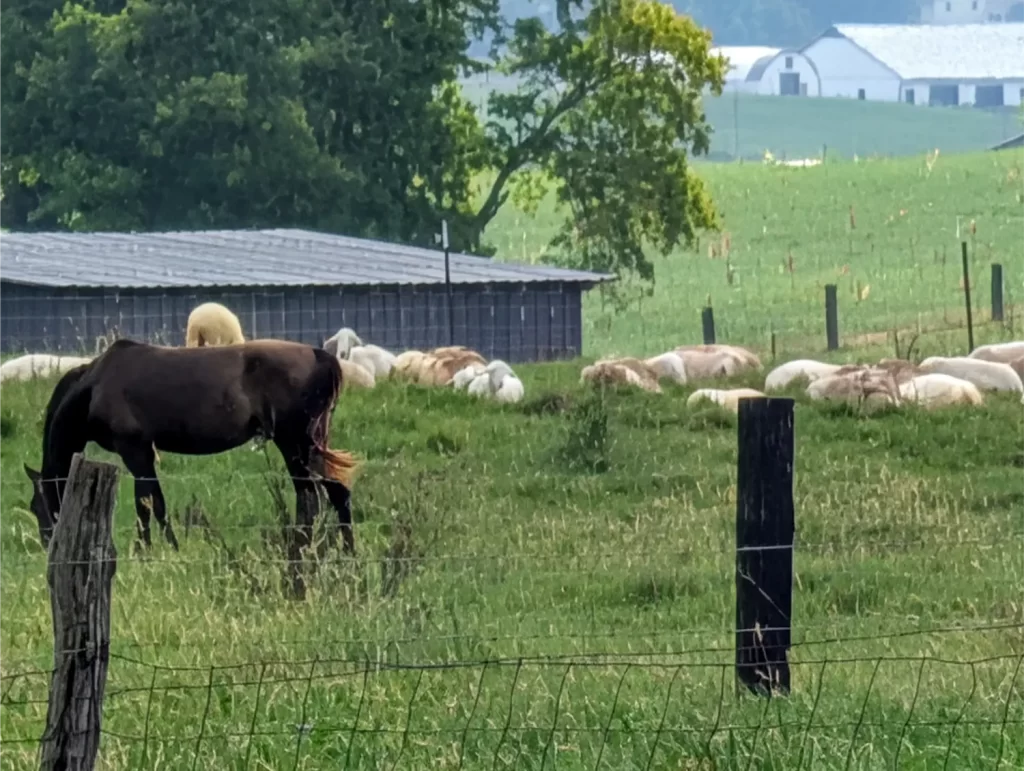
- A few dozen horses
- 1 coyote (it jumped out of the brush and scared the crap out of me)
- 13 butterflies
- A few dozen geese
- 4 hawks (including one that swooped down right in front of me carrying a dead squirrel)
- 1 snake
- 3 woolly bears
- 6 groundhogs (including the fattest one I’ve ever seen)
- 8 deer
- A quadrillion squirrels and chipmunks – my favorite was a squirrel that ran across the trail with a tree nut the size of a baseball in its mouth, and it was the funniest sight! 😂
- About four dozen cows
- 2 bunnies
- 2 yellow finches
- 2 horses and buggies
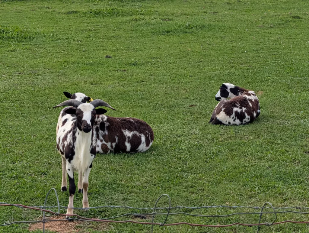
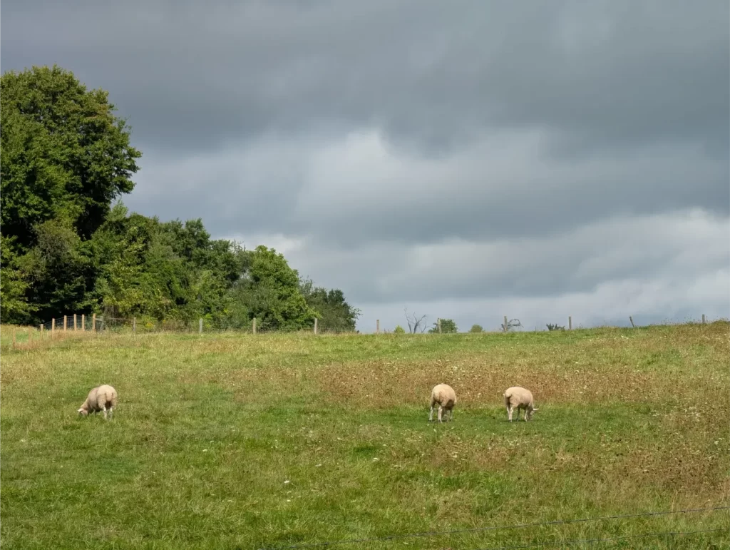
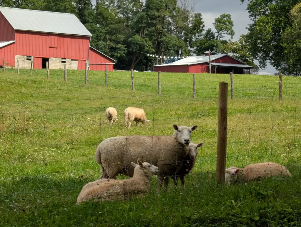
- A couple dozen sheep
- 1 turtle
- 3 cats
- 2 herons
- Tons of seagulls
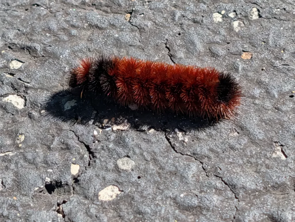
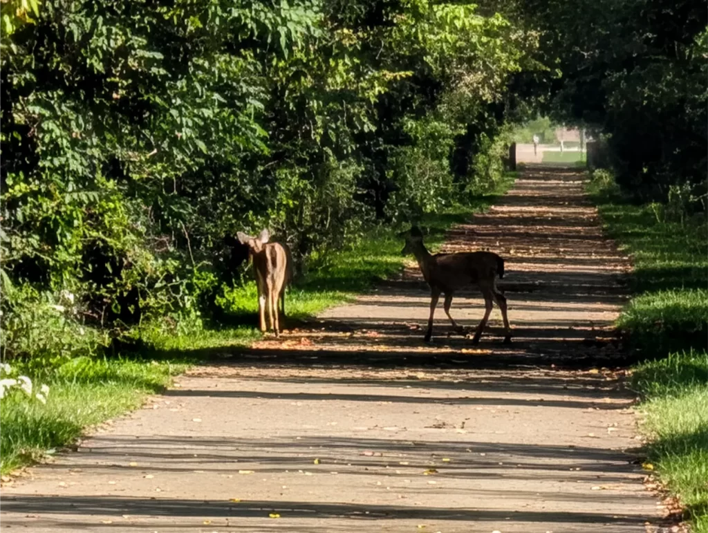
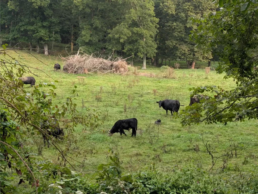
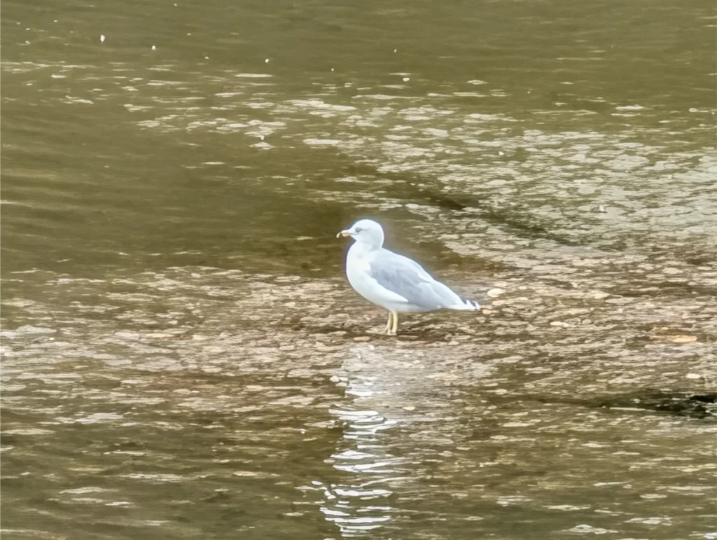
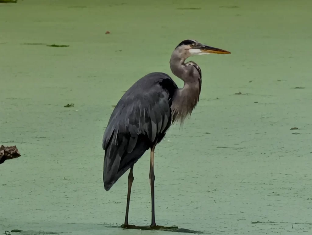
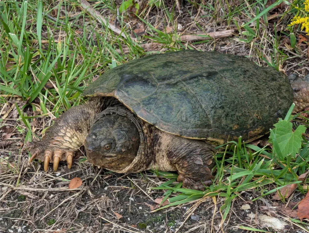
Did you worry about getting lost on the Ohio to Erie Trail?
I gotta tell you – I ran into so many folks on the trails who told me that they had done the OTET years ago and recounted how many times they got lost.
Here’s the good news: The Ohio to Erie Trail has integrated the entire route into the Ride with GPS app. Not only that, but the group that runs the Ohio to Erie Trail website allows you to get all the Ride with GPS premium features for free (just for the OTET route). Those premium features include turn-by-turn voice navigation and offline maps, both of which are fantastic.
If you decide to bike the OTET, this app is a must-have. I would be riding along, and maybe the trail would splinter off, and I would assume that I should stay on the main trail. Within 5-10 seconds of going the wrong way, the app would interrupt my podcasts playing in my earbuds with a BOMP-BOMP to let me know I went off track. I would turn around and go the other way – no harm, no foul.
This happened several times throughout my ride, so I do understand how folks used to get lost on this all the time. The Ride with GPS app eliminates this headache. I brought paper maps of the route as a backup, but didn’t need to pull them out of my bag even a single time.
What was interesting was that there wasn’t an obvious link to get the premium features for free. I didn’t even know this existed until an AI pointed it out to me. But because you’re lucky enough to be reading my blog, I’ll share!
Here are the steps to follow for this:
- Create a Ride with GPS account: Sign up for a standard, free account at ridewithgps.com (no paid subscription required).
- Join the OTET club: Click https://ridewithgps.com/organizations/12781-ohio-to-erie-trail-organization/join to join the club (this is free). It’s set to auto-approve, which instantly links your account to the Ohio to Erie Trail Organization.
- Open the mobile app: Download the Ride with GPS app on iOS or Android and log in.
- Access the routes: Go to More → Organizations → Ohio to Erie Trail Organization → Organization Routes.
- Ride for free: Any route opened from that club library can be downloaded for offline use and navigated with turn-by-turn voice guidance without hitting a paywall.
You should find the northbound or southbound route that you want in the list. As a side note, some of the bigger detours are updated in the route routinely. But don’t ignore the Trail Alerts page on the OTET site. This is critical to leverage before and during the trip.
A funny story about my OTET ride
I mentioned how the saddle sores I got on this adventure made for a really painful experience for the last couple of days.
The third day of the OTET, while in Millersburg, was when I first knew that something wasn’t right. However, checking to see what you’ve got going on down there is not something easy to do unless you’re a contortionist (I’m not).
So, I grabbed my phone, dropped my drawers, and took a couple of close-up photos. I made them very close-up to ensure my genitals weren’t in the pictures, should they ever get out into the wild (yikes!).
The photos are what made me realize that it was indeed saddle sores and what pushed me to get Desitin for them, so that was good.
But, back to the photos themselves. I have it so all our photos automatically get backed up to our computer here at my place. I talked a lot about that in my post, The Self-Hosting Spark: How Ditching Google Reignited My Tech Obsession. It’s important to know that these photos then show up on our TV at home as a screensaver.
Yeah, I know what you’re thinking… but so was I. I deleted them from the PC right away so they didn’t show up on the TV because I’m smarter than the average bear.
Well… I failed to remember one thing. I forgot that I also still have our photos backed up temporarily to Google Photos briefly as a “just in case.” I also forgot that my wife and I have Partner Sharing set up with Google Photos.
So, after those photos were backed up to Google Photos, my wife got a notification on her phone that I had added new photos. She was intrigued to see some of the new photos from my Ohio to Erie Trail adventure and clicked on the notification.
She was a little confused as to why I had taken photos of my armpits (remember they were zoomed in close). She was laughing and was just about to show our daughter the photos when she realized what they actually were and then pulled the phone away before she could see them.
Oops. 😂
I deleted those photos real quick from Google Photos after she filled me in.
I love trails, trail wildlife, riding over cool bridges and through tunnels, trains, rolling countryside landscapes, passing through small towns and especially small-town downtowns.
I got all of that over and over again on this adventure.
The Ohio to Erie Trail was an amazing and beautiful journey. I knew I could do it… and I did. Don’t ever let anyone tell you that you can’t accomplish something. If you know you can do it, believe in yourself.
If you enjoyed this post, why not subscribe? I’ll keep you in the loop on new posts and share info I don’t always put in the blog. Plus, I’ll send you some really cool spreadsheet freebies as a welcome gift that I think you’ll really love!
Plan well, take action, and live your best life!
Thanks for reading!!
— Jim
My husband and I rode from Seattle to DC this summer on e-bikes. If you do that, remember that getting year battery charged is no trivial matter and can take up to 6 hours. So knowing where you’re going to stop is important. We rode most of the OTET and also passed zombie land coming into Columbus. Don’t think I’ve ever seen a worse homeless/drug situation anywhere. The OTET is definitely a great ride. Fun to see it again thru your pics and story.
Hi Vivian – I never thought about how long charging an e-bike would take… you really need to take that one into consideration then. Sounds similar to folks trying to travel long distances in a lot of the EVs out there. Thanks for the note on that!
Awesome!! Way to go, Jim.
Thanks, Warren!! 🙂
Is cycling long distances something you truly enjoy? It seems like you were somewhat convinced by a friend, who ultimately couldn’t go and then perhaps you made the best of the situation anyway because the bike was bought and the plan was already in motion. Now that you’ve done this, would you do other trails? Only on an ebike? Regardless, great trip and impressive effort. Thanks for sharing!
Great question! I definitely enjoyed it (except for the saddle sores, of course!), but you’re absolutely right – this wasn’t something I probably would have done if it hadn’t landed in my lap like it did. I actually just got together for a guys’ weekend this past weekend and my friend who didn’t go was there. Both him and another friend want to do the OTET next year. Training for and doing the OTET was a lot of work. I didn’t mind it because I was focused on the challenge. I enjoy biking, but I don’t know that I would want to do long-distance rides again because of how much time it cost me while training for it. But I am debating the idea of doing the OTET again with them if I do get an e-bike. It really was a beautiful ride and that would make it much easier to train for and do while still allowing me to enjoy the beautiful trails and spend some time with friends… though they mentioned doing it in 4 days or possibly less. Yikes! 😬
Did I really tell you to pound salt? I thought my explanation was much softer than that. Wink. Congrats on a major accomplishment, saddle sores and all! I love finding a challenge that requires some training to achieve. It’s a great way to add variety to our fitness routines, and the sense of accomplishment you get when you accomplish a major goal makes life more fun. Congrats again, even if I did wimp out…
Haha, yes, your response was much nicer, Fritz, but I like to test if you still read my posts! 😂 And thanks – I’m proud that I pulled this off for sure. See you next month!!
Nice job Jim, looks like a great trip! I’ve ridden almost every single rail-trail in Virginia and Maryland and quite a few in PA, but haven’t gotten to Ohio yet. That trail is quite well-known and I have a few friends who have done all or parts of it. And looks like you got a good deal on that bike for $300, that’s a great bike!
Thanks, Dave! That’s amazing that you do all these big trails. I didn’t realize that’s something folks do until I kind of went up to my neck in this arena. Sounds like there are a lot of well-known trails that folks travel to all over the country (or world) to do. I have nothing to compare the OTET to, but it really was a beautiful ride and I liked that over 90% of it was non-road riding.
That’s good to know on my bike as well. I actually had an AI helping me find one as well since I didn’t know anything about them, and it told me to jump on that one when it was posted.